


Panorama hike
Freedom, tranquillity, distant endings…If you are looking for vast landscapes, this is a suitable walk. You leave Elsenborn and walk in the direction of Nidrum. It doesn’t take long before you enjoy a beautiful view over the village of Bütgenbach.
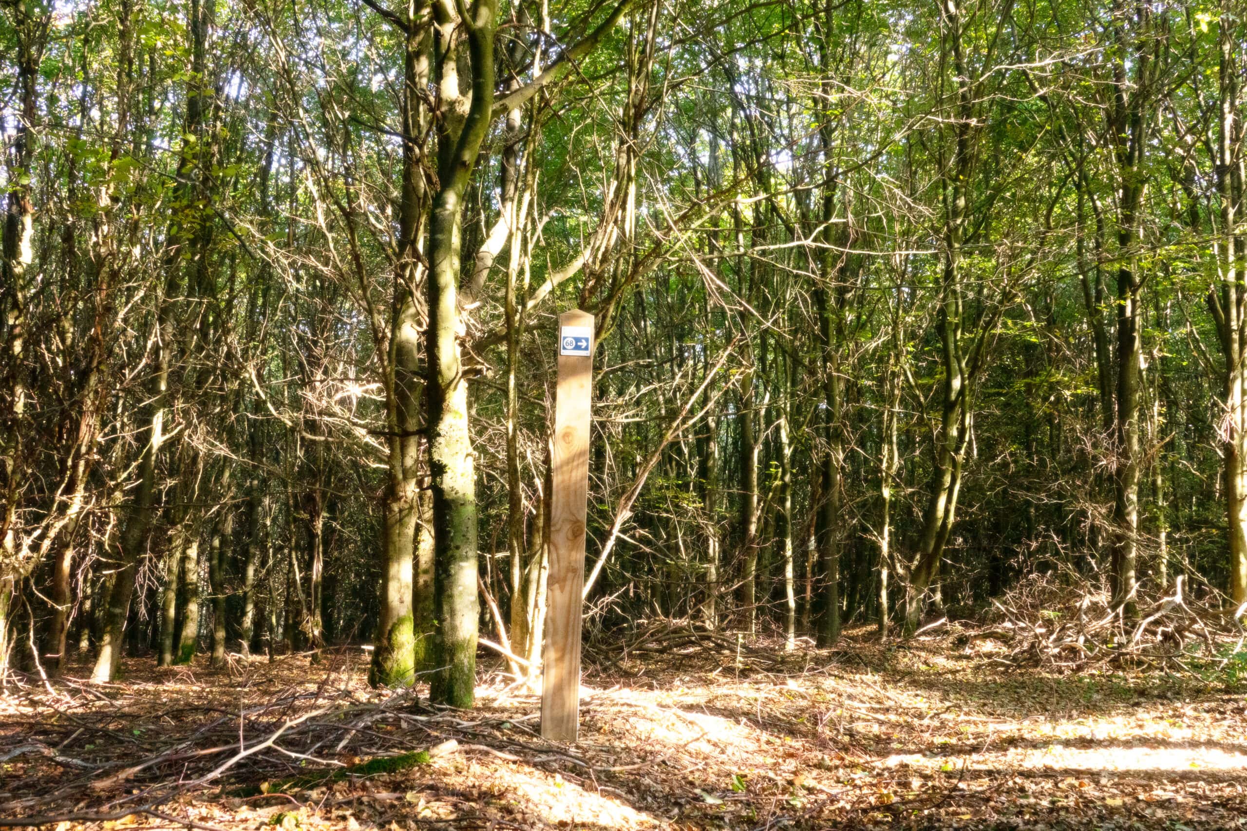
You follow the hiking nodes and after about 2 kilometres you’ll see the Zosterbach stream flowing. You walk through the meadow to the Zosterbach pond. The nodes take you via forest paths back to Elsenborn.
At Herzebösch both the underground and the landscape change. The soft, relatively dry forest ground gives way to sometimes marshy meadows. You now hike a bit on the cross-country skiing course of Elsenborn. After about 500 metres on the cross-country course, you leave the cross-country track. You now walk between the hedges and the meadows. Despite the shelter of the hedges, the wind can be quite icy here: dress well is the message.
At the height of the 6th kilometre you’ll be back on the cross-country course for a short while. The scenery here is overwhelming: you see a seemingly desolate landscape of moors, which according to an information board turns out to be a rich biotope.
Baldmoney grows here in the summer and the whinchat, a small bird, can also be spotted here. Prohibited access signs and here and there an army shed indicate that the peat area is an inaccessible military domain. But this doesn’t really disturb. The view is simply breathtaking, at least when the weather is clear. What might disturb are the army exercises. You probably don’t want the roar of army exercises during your hike and that’s why it’s best to consult the website of Bütgenbach to know when army exercises take place.
After 8 kilometres you definitely turn your back on the fens. You now walk along almost traffic-free, narrow streets in the direction of the windmills. 1 kilometre later you also leave the windmills behind. Again you see the church tower of Bütgenbach in the distance.
During the last kilometres you descend along a quiet, almost traffic free street to the Krumbach brook. Then you climb back to Elsenborn. Don’t forget to look back to the idyllic valley every now and then.
The GPX-file


You can import the route by scanning the QR code via the NodeMapp application.
Details
Code :
ELS04
Start :
Elsenborn - Kirche = Knotenpunkt 62
End :
Elsenborn - Kirche = Knotenpunkt 62
Km :
12.8km
Vertical meters :
130m
Off-road :
55%
Signs & nodes :
62 - 64 - 66 - 31 - 27 - 68 - 67 - 59 - 58 - 65 – 62