


Hike along the Crossway Bütgenbach – Berg
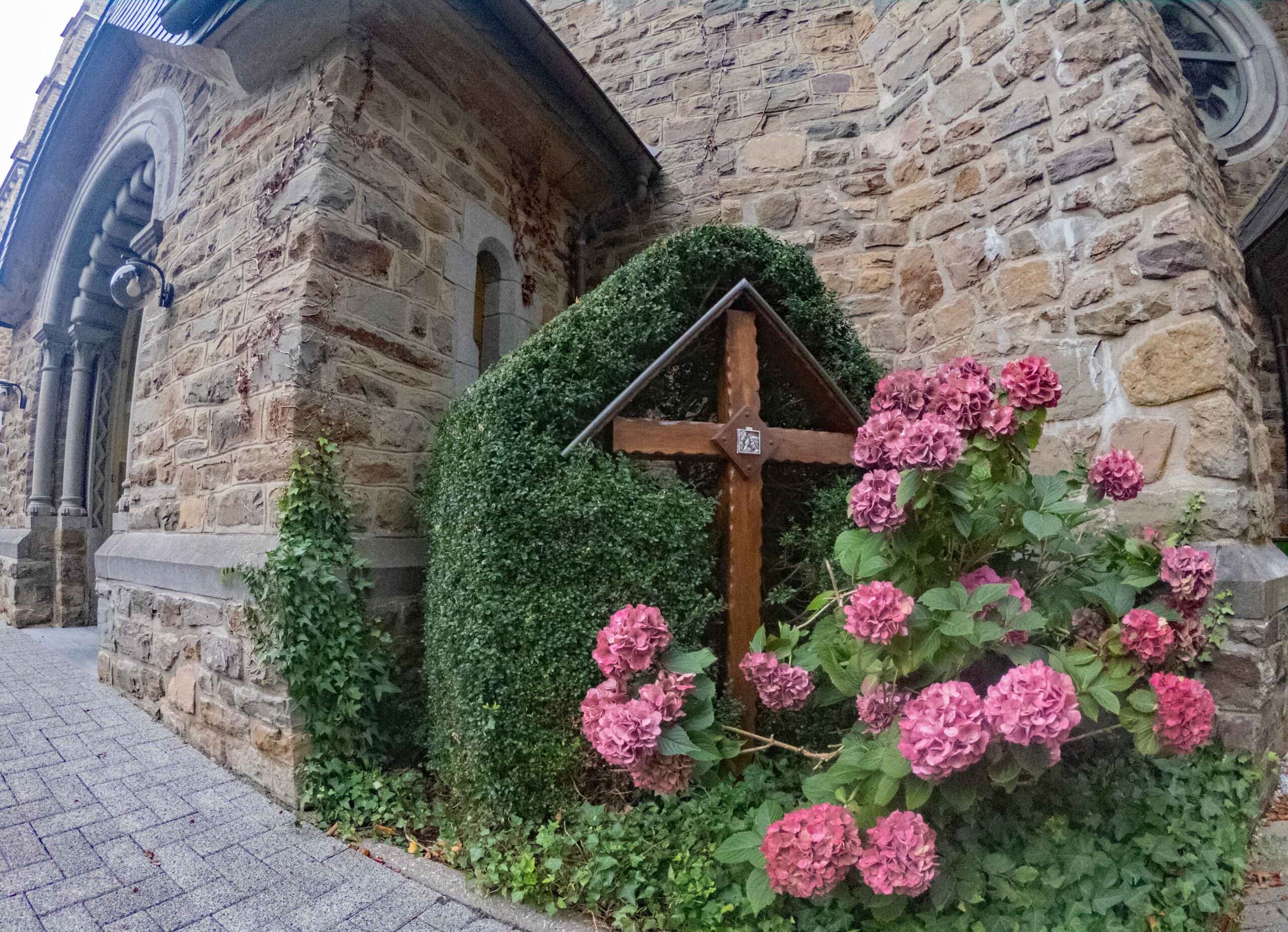
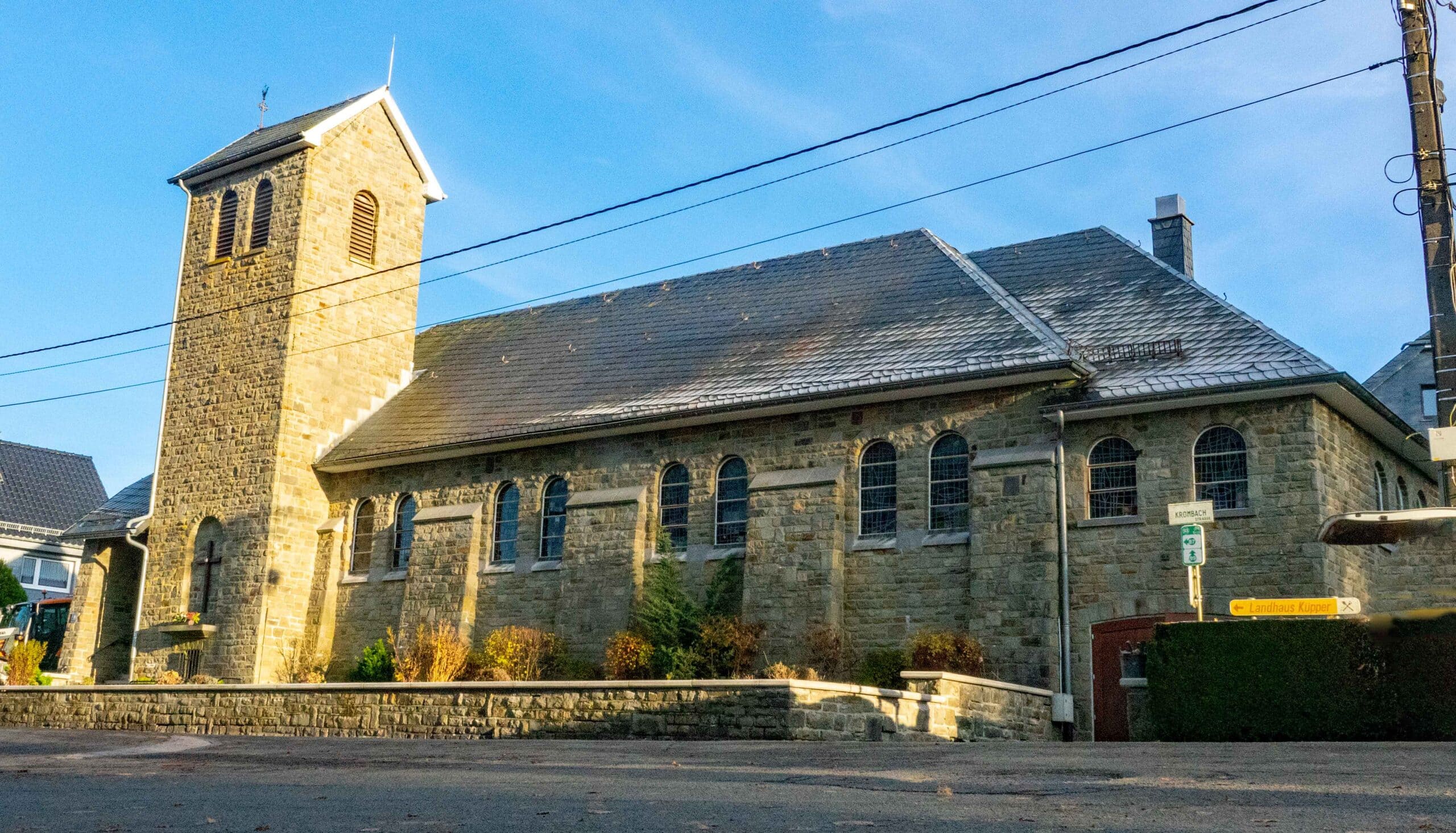
This walk takes you along the 14 stations of the Crossway (start at the church in Bütgenbach and arrive at the chapel in Berg). You follow hiking nodes. Once you have crossed the dam of Lake Bütgenbach, the hike only goes uphill, up the “calvary”, to the chapel of Berg (= German for mountain: the village has not stolen its name). Station 14 is actually at hiking node 60. Officially, this is where the Way of the Cross ends. However, it would be a pity not to continue walking up to the chapel and the cosy little square in the centre of Berg, where there is also a nice playground (extra hiking motivation for your offspring!).
What makes this walk attractive? You start in the centre of Bütgenbach at the beautiful church. You descend to the dam and pass by the spot where Bütgenbach’s castle once stood. An app resurrects the castle in all its glory. Try it out. This is also a nice place for a picnic.
Want to turn this walk into a loop? You can. Using the hiking nodes, we have come up with a short and a long version. Look for details in the tips.
Tipp
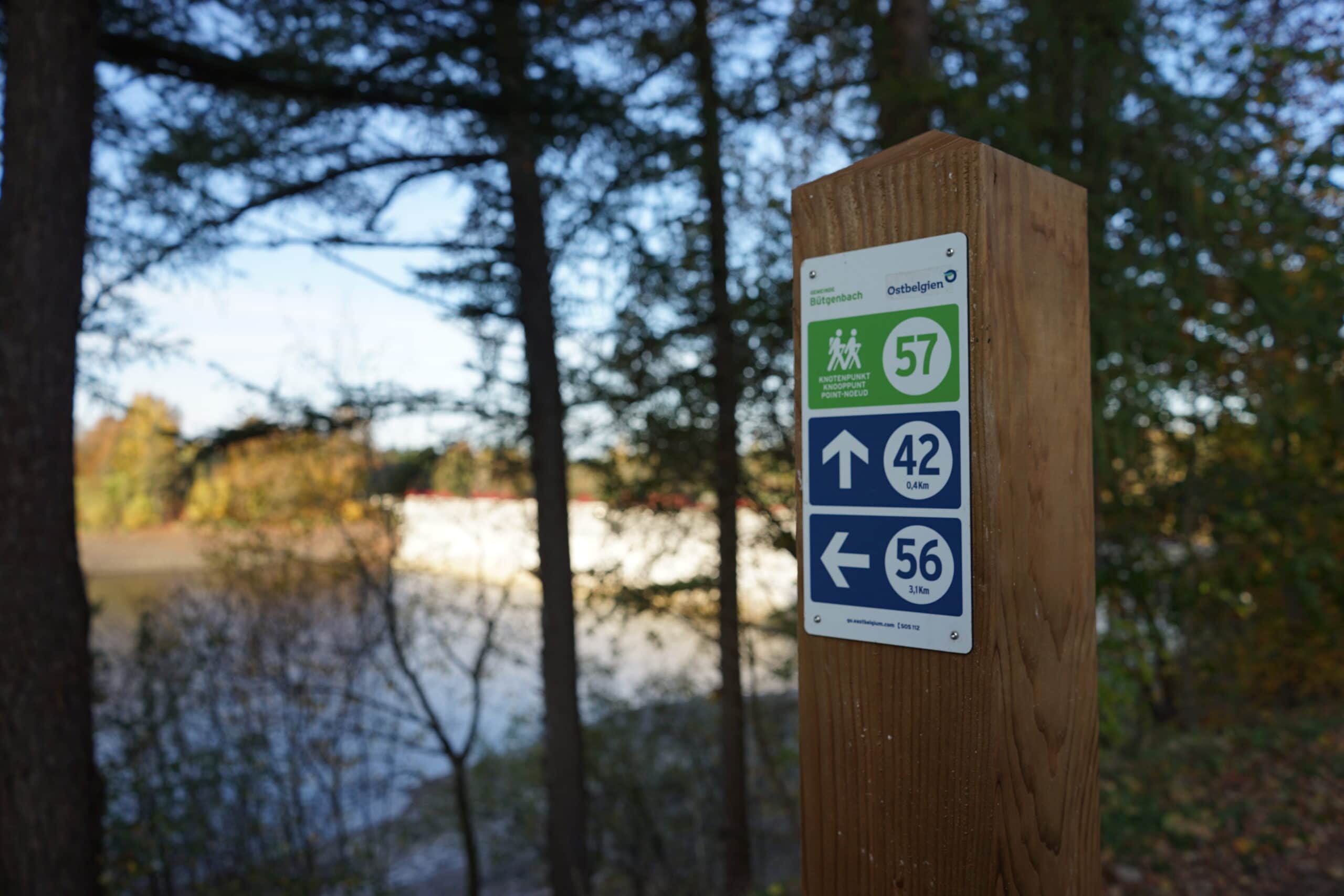
Want to integrate this Way of the Cross into a walking loop? Then follow one of the two walking node routes below:
- 1 short route of 3.7 km along the lakeshore of Bütgenbach. Follow the nodes: 44 – 42 – 57 – 60 – + 200 m towards 58 – 57 – 42 – 45 – 43 – 44
- 1 long route of 13.2 km to the heights around Bütgenbach, back to the banks of the lake to return via the forests of Plättscheid to the centre of Bütgenbach where you had started. Follow the nodes: 44 – 42 – 57 – 60 – 58 – 59 – 69 – 56 – 9 – 6 – 55 – 50 – 53 – 48 – 51 – 47 – 43 – 44.
Details
Code :
KRBB
Start :
Marktplatz, Bütgenbach - HN44
End :
Kapelle Berg - HN60>
Km :
2km
Vertical meters :
65m
Signs & nodes :
44 - 42 - 57 - 60 - + 200 m towards 58