


To Bütgenbacher Heck
A gem! Hiking nodes take you first to the realm of the red kite and then to the forests of Bütgenbacher Heck. Prepare for quite a few vertical meters, but also beautiful views!
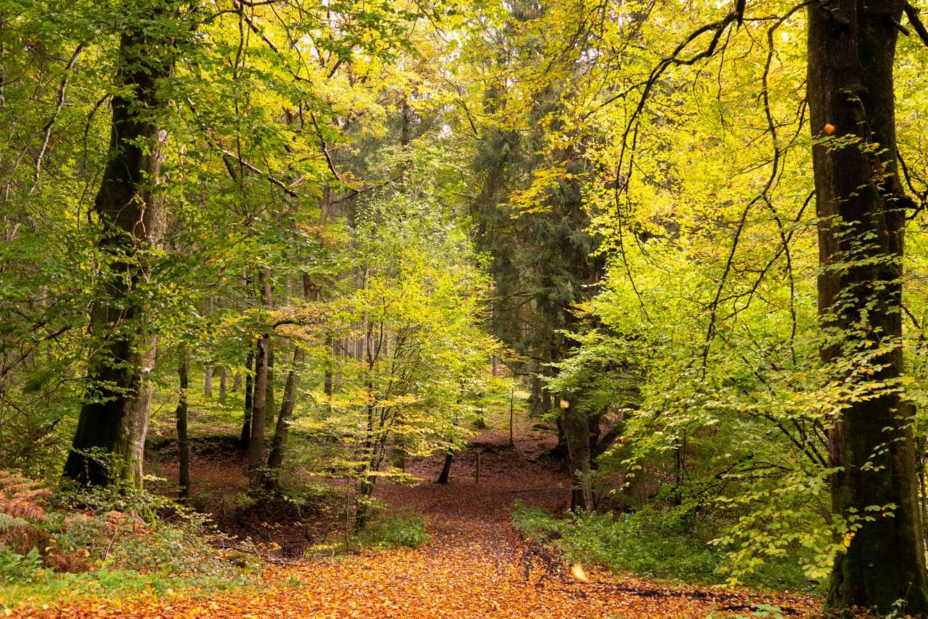
Tipp
- Yellow in spring: daffodils in bloom (between km 8-11)
- Red in autumn: many beech trees at the Bütgenbacher Heck


You can import the route by scanning the QR code via the NodeMapp application.
Details
Code :
BUT07
Start :
Marktplatz Bütgenbach = Knotenpunkt 44
End :
Marktplatz Bütgenbach = Knotenpunkt 44
Km :
16km
Vertical meters :
246m
Off-road :
46%
Signs & nodes :
44 - 43 - 47 - 70 - 9 - 71 - 70 - 47 - 51 - 49 - 45 - 43 - 44