


To the Warche Valley – long lap
This hike takes you along quiet, asphalted roads through the idyllic Warche valley to the village of Nidrum. You follow hiking nodes (except for the alternative route). For an alternative route we refer you to tip no. 1.
You return along the upland meadows between Nidrum and Weywertz and cross for a second time the Warche Valley. You climb back to the centre of Bütgenbach on paths that are sometimes off road.
What to expect on this hike? Beautiful views, quiet roads. The path between junctions 26 and 36 is narrow and dotted with roots, which makes it particularly exciting to hike.
Tipp
- If you don’t want to walk twice along the same stretch (from 44-39 and from 39-44), you can follow an alternative route that goes along the Klosterstraße at the church (=street that is situated between the parking lot of the tourist office and the bakery). You will pass by a little square: Vinzentinerinnenplatz. Reading the information boards will bring the rich history of the square back to life. At the end of the Klosterstrasse you will be treated to a nice view of the Bütgenbach viaduct. Then cross the busy Monschauer Straße (attention when crossing) and take the gravel road between the supermarket and the car park. This gravel road takes you to a higher, asphalted and traffic free railway bed (= RAVeL). On the RAVeL, turn left and continue on the RAVeL to hiking node 41. There you can continue the walk by following the hiking nodes as described above.
- You pass in Nidrum where there is a grocery shop, café, hotel, restaurants.
- Not for wheelchairs and prams (problematic passages are: 26-36 and 34-39 = a total of 1.3 km).
- You may still see some old signs during your hike. This hike is in fact a variation on the old one, which was marked by a green rectangle. That hike was only 8 km long, but followed during a long time a main road.
- A large part of the route follows the public road. Although these are very quiet roads, the traffic rules must be respected.

You can import the route by scanning the QR code via the NodeMapp application.
Details
Code :
BUT03
Start :
Market square Bütgenbach = hiking node 44
End :
Market square Bütgenbach = hiking node 44
Km :
9.2km
Vertical meters :
152m
Off-road :
20%
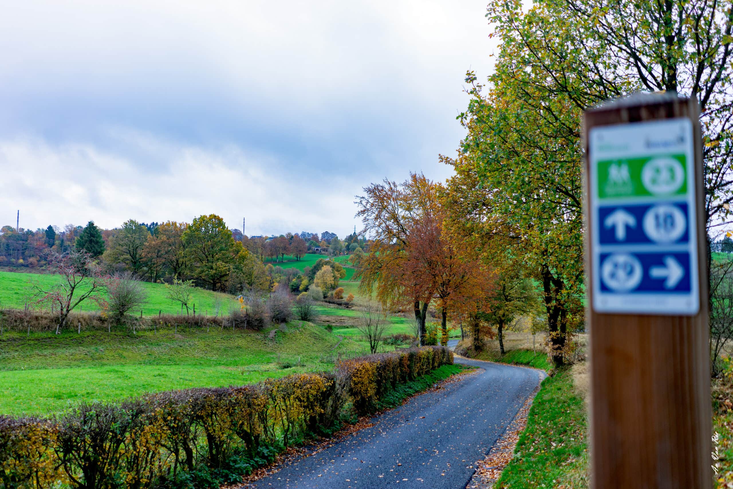
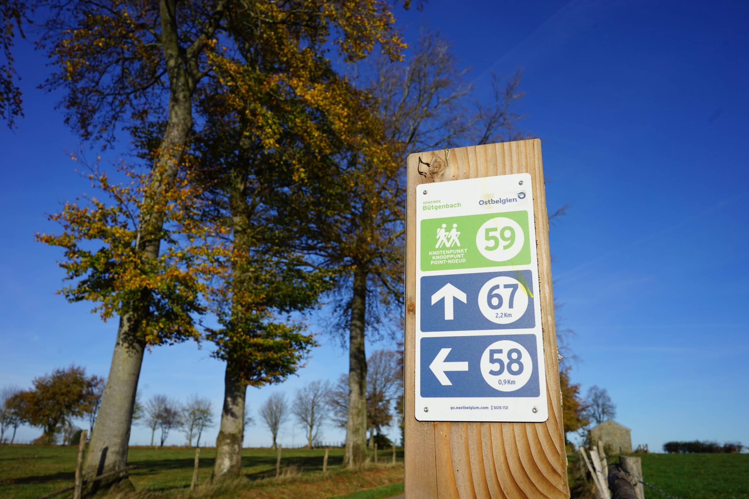
Signs & nodes :
44 - 39 - 41 - 18 - 23 - 28 - 32- 29 - 26 - 36 - 34 - 39 - 44