


To Berger Venn
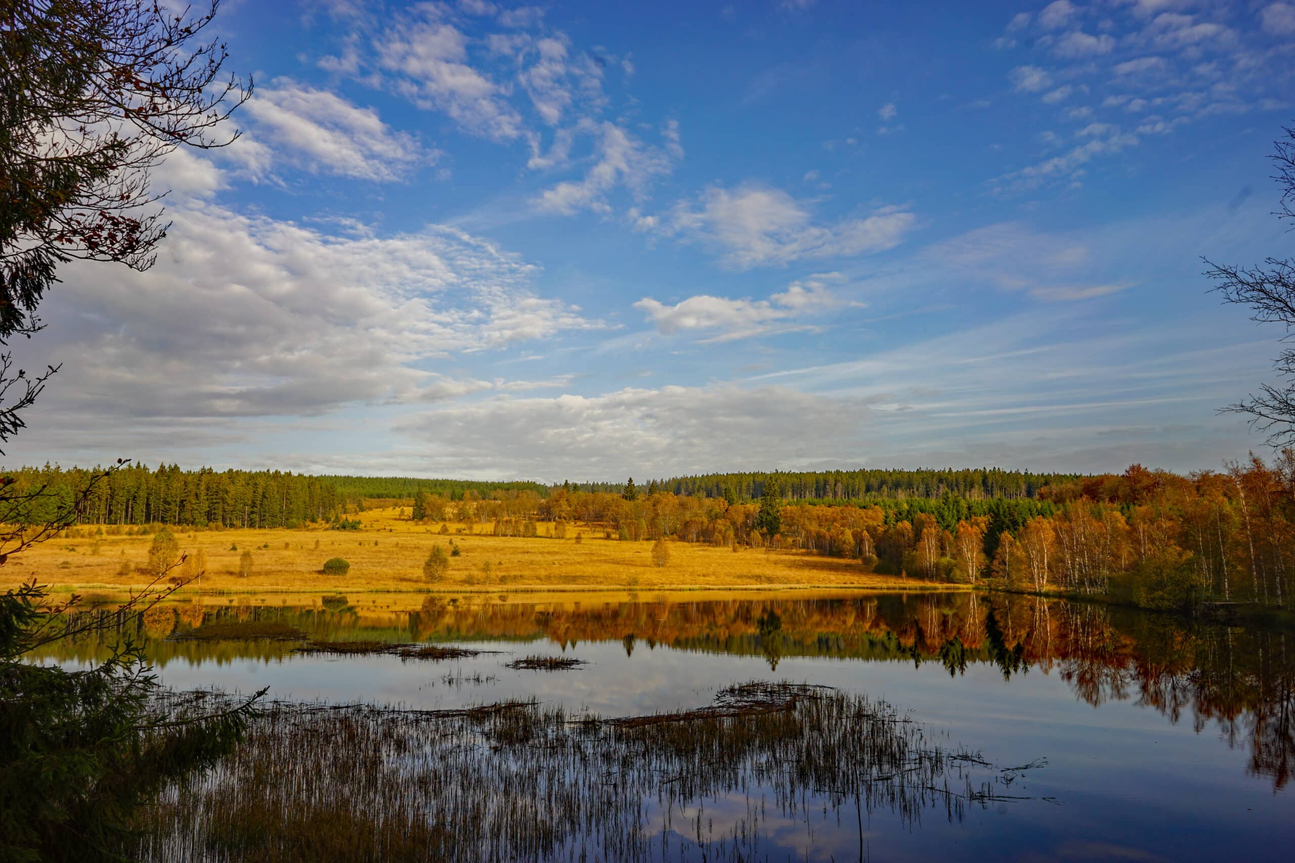
This hike goes to the Black Lake, also known as “Schwarzbachsee”: on the program: forest, a small idyllic lake and fens.
Tipp
- Alternative starting point = at the Thoma-Brücke
- Alternative route via RAVeL (8.2 km and 91 altimetres: Rur river, traces of beavers, daffodils in spring): the nodes to follow are: start at hiking node HN1 – follow the RAVeL direction Sourbrodt till HN17 – HN14 – HN9 – HN15 – HN11 – HN8 – HN7 – HN1
- The parking lot “Am Breitenbach” is located next to the Railbike parking lot, close to HN1
- This route is suitable for wheelchairs and prams. Do bear in mind that there is a serious incline (uphill and downhill).


You can import the route by scanning the QR code via the NodeMapp application.
Details
Code :
LEY02
Start :
Parking, Am Breitenbach, 4750 Leykaul
End :
Parking, Am Breitenbach, 4750 Leykaul
Km :
7.3km
Vertical meters :
224m
Off-road :
35%
Signs & nodes :
1-2-14-9-15-11-8-7-1