


Warchetour Lap
The walk “Warchetour- Lap” (26.8 km) turns the beautiful one-way “Warchetour” (11 km) into a round.
- The Warchetour connects lake Bütgenbach with lake Robertville: follow the Warchetour signs
- Where the Warchetour ends, you follow WM06 signs and hiking nodes to get back to your starting point.
- Not only keen hikers, but also trail runners will particularly appreciate this long nature hike.
Km 0 –km 11, 2: follow the Warchetour signs
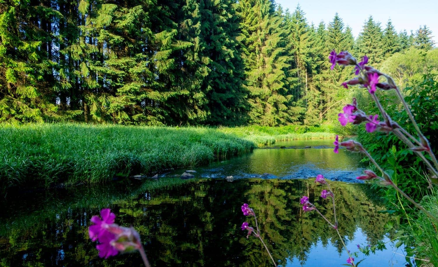
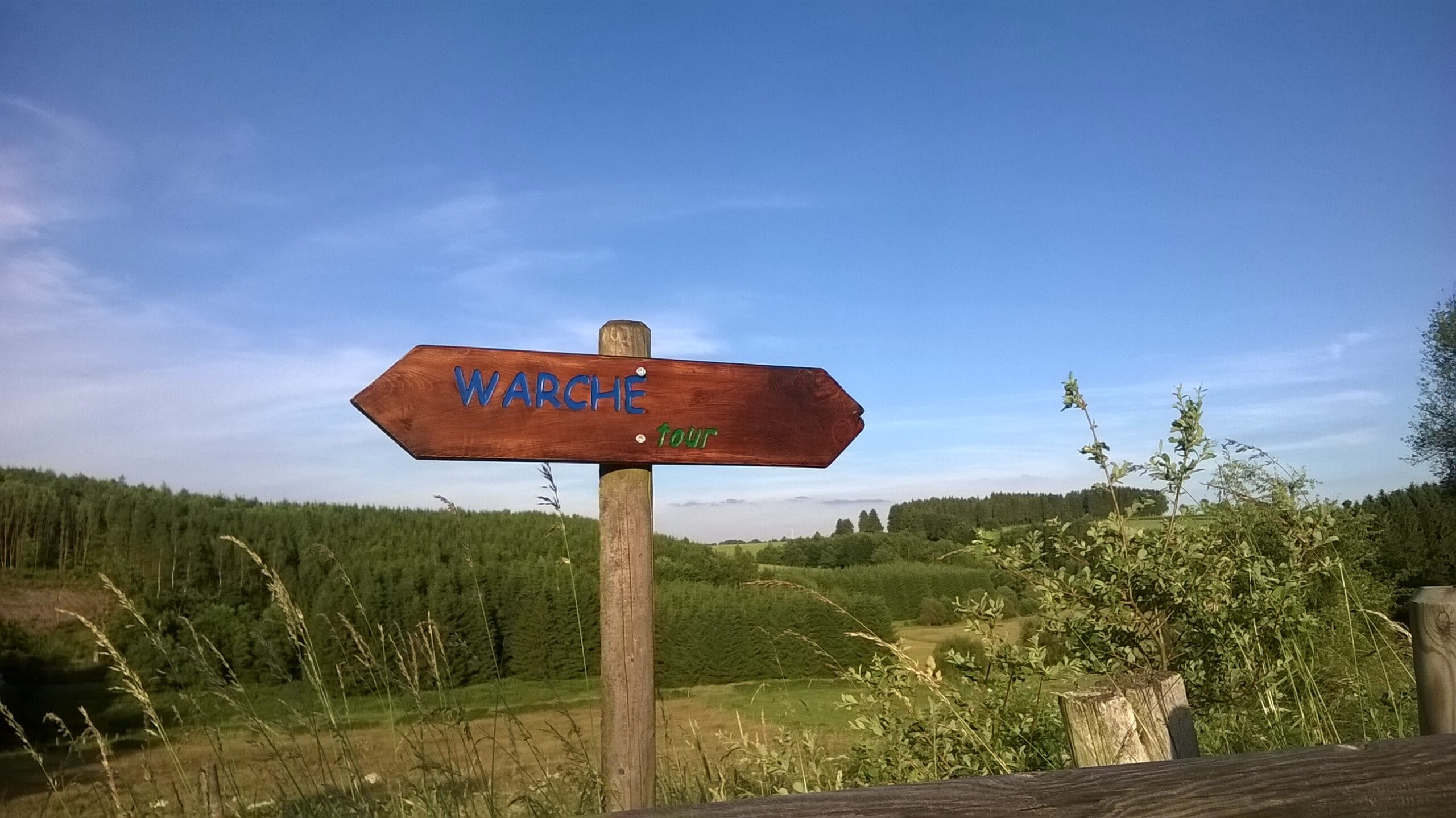
The Warchetour is a marvellous 11,2 km hike with start at the barbecue of Bütgenbach near the viaduct and arrival at the church of Robertville. Follow the Warchetour sign (photo 1). You can also follow an alternative signposting: hiking nodes as from km 1,1 (41 – 18 – 23 – 29 – 26 – 40 – 22 – 25) or the WM06 sign (photo 2) appearing as from km 6,7.
Km 11,2 – km 14,4: follow the WM 06 signs.
Long distance hikers and trail runners, who want to make a round out of this one-way- hike, can return to Bütgenbach by following the WM06 signs as from the church of Robertville (photo 3).The WM06 hike follows the Quarreux brook. During 3,2 km you follow the signs with a daffodil. Indeed, many daffodils bloom along the Quarreux brook in spring.
Km 14,4 – km 25,9: follow hiking nodes
You follow the WM06 sign till you arrive at a bridge under the RAVeL (at km 14,4). Instead of following the WM06 sign and turning to the right and going under the bridge, you turn to the left and follow the sign towards the hiking node 21 (photo 4). During 11,5 km you follow hiking nodes: 21 – 30 – 27 – 31 – 66 – 64 – 61 – 60 – 57 – 42. Hiking node 42 is situated at the dam of Lake Bütgenbach.
Km 25,9 - km 26,8: follow the Warchetour signs or your GPS
As soon as you have crossed the dam, you have to cross another small red bridge (photo 5). At your right hand you see now a Warchetour sign (photo 6). Instead of going as far as hiking node 42, you turn to the right and follow this sign. A small path and stairs lead you down to the Warche river. On your right you will see the sluice. Watch out when you cross the road to get back to your starting point!
Tipp
- It’s a long, but very beautiful nature hike.
- Not suitable for wheelchairs and prams
- Numerous shortcuts are possible.
- Daffodils bloom in spring along the Quarreux and elsewhere
Details
Code :
BUT10
Start :
Grillhütte Bütgenbach, Monschauer Straße, 4750 Bütgenbach
End :
Grillhütte Bütgenbach, Monschauer Straße, 4750 Bütgenbach
Km :
26.8km
Vertical meters :
341m
Off-road :
75%