


Sunny Side
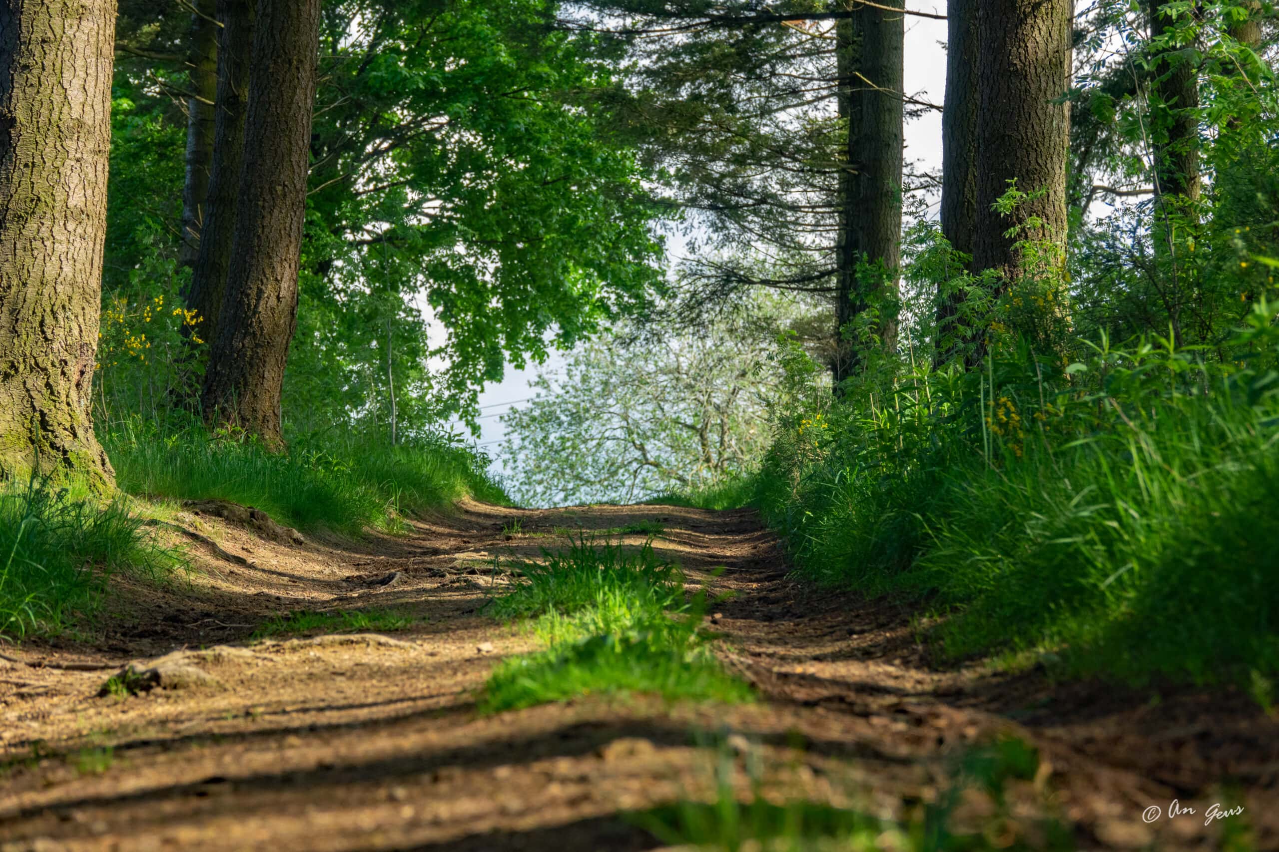
This hike starts at hiking node 57 and takes you to the plateau at the lake of Bütgenbach. Apart from the climb to the village of Berg, it is a fairly easy hike of 8.2 km long with only 73 vertical meters.
During this walk you will follow walking nodes. You start at the dam of Lake Bütgenbach, climb to the hamlet of Berg and after about 3 km you will reach unpaved paths and forest roads with beautiful panoramas. The last part of this hike takes you along the shores of Lake Bütgenbach.
What can you expect? Beautiful views, marvellous nature, changing landscapes with meadows, forests. The lake of Bütgenbach is never far away.
Tipp
At low water, a multitude of bird species can be observed. In autumn and winter, the water is discharged from the lake so that it can serve as a reservoir for winter meltwater.

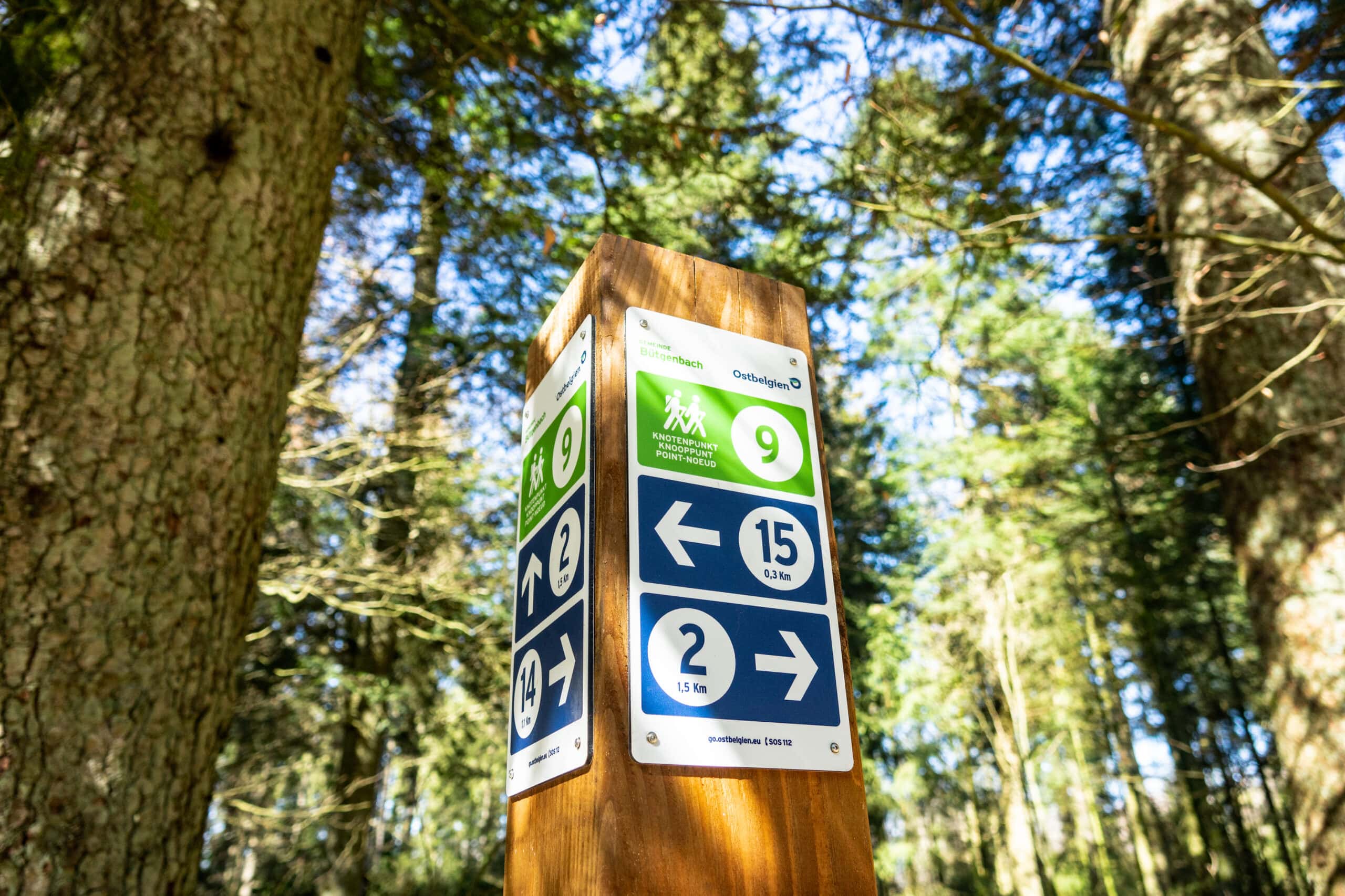
You can import the route by scanning the QR code via the NodeMapp application.
Details
Code :
BER01
Start :
Staumauer des Bütgenbacher Sees = Knotenpunkt 57
End :
Staumauer des Bütgenbacher Sees = Knotenpunkt 57
Km :
8.2km
Vertical meters :
72m
Off-road :
60%
Signs & nodes :
57-60-58-59-69-56-57