


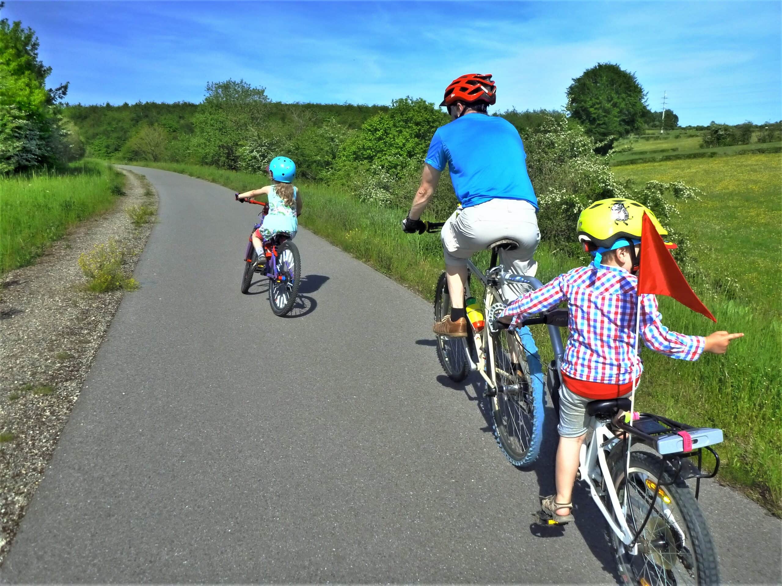
Play and pedal ride
The Pedal- and Playroute is a cycling tour of 17 km along mainly quiet and traffic-free cycling roads.It connects the 5 playgrounds of the commune of Bütgenbach.
Although the tour itself is not long, you should take plenty of time for it, as the children will want to try out all the toys. You can count on half a day of playing and riding fun. So bring your picnic supplies and plenty to eat and drink (and for the adults, something to read).
Along the way you will pass small grocery stores (Bütgenbach, Nidrum, Elsenborn), cafés (Bütgenbach, Weywertz, Nidrum) and restaurants (Bütgenbach, Weywertz, Nidrum, Elsenborn) for a bite to eat, and, of course, also an ice cream! Inform yourself in advance about the opening hours and the right addresses.
The Bütgenbach Tourist Office is particularly suitable as a starting and arrival point: there is plenty of free parking space here, there are public toilets and the first playground is nearby. Why not plan a breakfast here?
The tour is not signposted. Download the route on your smartphone or GPS device. Don’t have a smartphone? Then print out the map and follow the route based on the descriptions below the map.
Road book
Abbreviations:
PG = playground
L = left
R = right
I = intersection
SA = straight ahead
RA = RAVeL
(!) = danger, attention!
Example
2 road L = second way to the left
Start at Tourist Info Bütgenbach: Marktplatz 13a, 4750 Bütgenbach
The 1st PG is the PG of Bütgenbach and is located on the square opposite the Tourist Info Office.
Leave the PG on the side of the Hotel-Restaurant Bütgenbach Hof to the R and cycle to Monschauer Straße. Turn off R, then 1 road L, 1 Road R, 2 Road L. You are now on a low traffic street Zum Großen Feld. Here comes the 1st climb.
At the top you have a wonderful view and the asphalted road gives way to a dirt road. It goes downhill and after a small short climb you reach the RAVeL which is a disused railway line. On the RA turn to the L.
Follow the track to the next RA junction. Cycle to the R (= direction Weywertz) and after about 50 meters turn off the first path to the L (!) You now come to a main road. Go to the right. Follow this road during 800m. Then you turn t the L (=2StrL). After 5 meters you take the 1 Road R (Weddemer Weg). In the extension of this road there is a path that leads to the 2nd PG = PG of Weywertz.
You leave the 2nd PG and cycle to L. You come back to the main street (!) (the Bahnhofstraße has become the Lindenstraße in the meantime). You cross the road, first turn L and then immediately R. You are now on a small street near the primary school Weywertz (Schulweg). At the end of this road turn to the L, then 1 road R, then 1 road L and at the end of the road to R (=2WR). You drive under a bridge and reach 200m further the hiking node 36.
From here on you can follow walking nodes. The walking nodes to follow are: [2nd climb] 36-34-18-[3rd climb] 23-28-31-66-64-62 (!)
The 3rd PG is located at Nidrum between the walking nodes 23 and 28 near the Nidrum soccer field.
The 4th PG is located at Elsenborn after the walking node 62, next to the church. At point 62 you take the 1st road L (=street name: Heinesberg) to reach the 4th PG.
You leave 4th PG and drive back to the main road where the church is situated. Instead of going to the R (direction church), you go to the L (=direction Wirtzfeld). Take the 2 road R (follow the sign “Euromode”) and drive SA. At the end of the road R, (!) you are again on the Wirtzfelder Straße. Then 1 road R (follow sign Berg). You are now on the street Zum Giesberg. Stay on this road until you reach Berg.
The 5th PG is situated in the centre of Berg and is on your left at the end of the street Zum Giesberg. Leave the 5th PG and drive down to the dam in the direction of Bütgenbach. You cycle over the Bütgenbach dam and follow the asphalted road uphill. This is the 4th climb.
Soon you will see the church of Bütgenbach. You take the small asphalted road R, just behind the church. You are now back on the market place of Bütgenbach = starting point.
Details
Code :
SPIELR
Start :
Tourist Info, Marktplatz 13a, 4750 Bütgenbach
End :
Tourist Info, Marktplatz 13a, 4750 Bütgenbach
Km :
17.7km
Vertical meters :
182m