


On Art Tour by bike
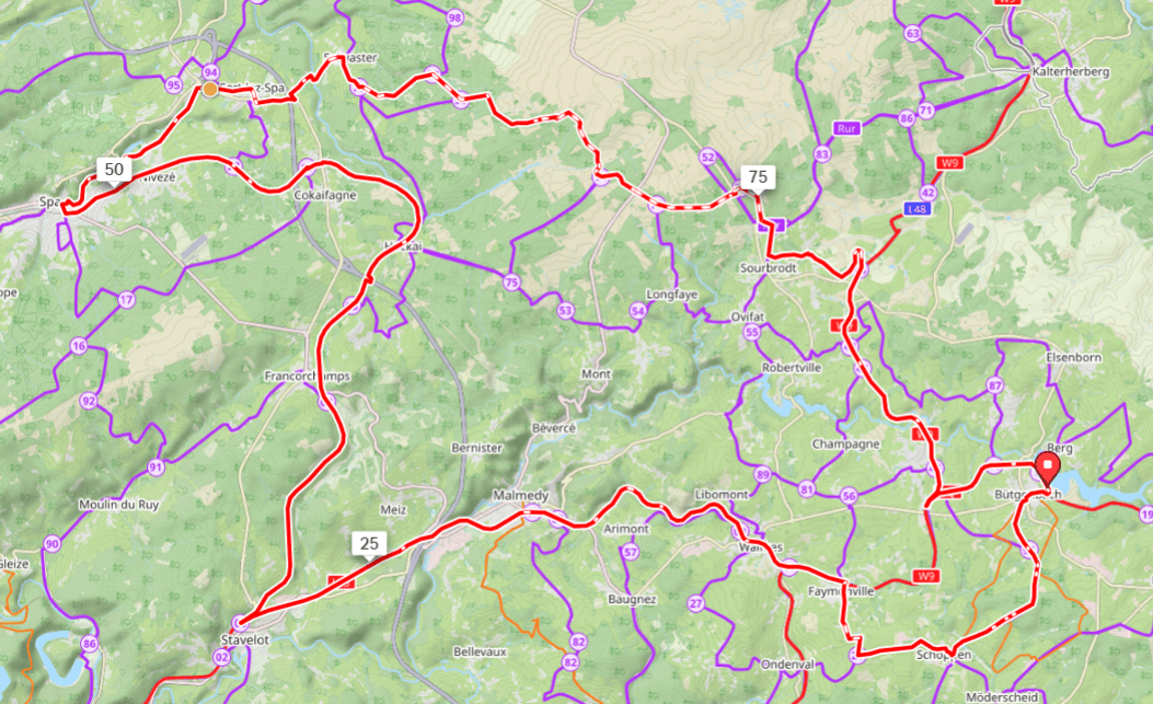
18 – 95 – 20 – 21 – 12 – 11 – 10 – 9 – 8 – 7 – 3 – 4 – 5 – 73 – 18 – 22 – 23 – 69 – GPS- Lac de Warfaaz – Sart-lez-Spa – Solwaster – 70 – 58 – 59 – 71 – 76 – 50 – 51 – 80 – 79 – 43 – 44 – 45 – 46 – 14 – 15 – 16 – 17 – 18
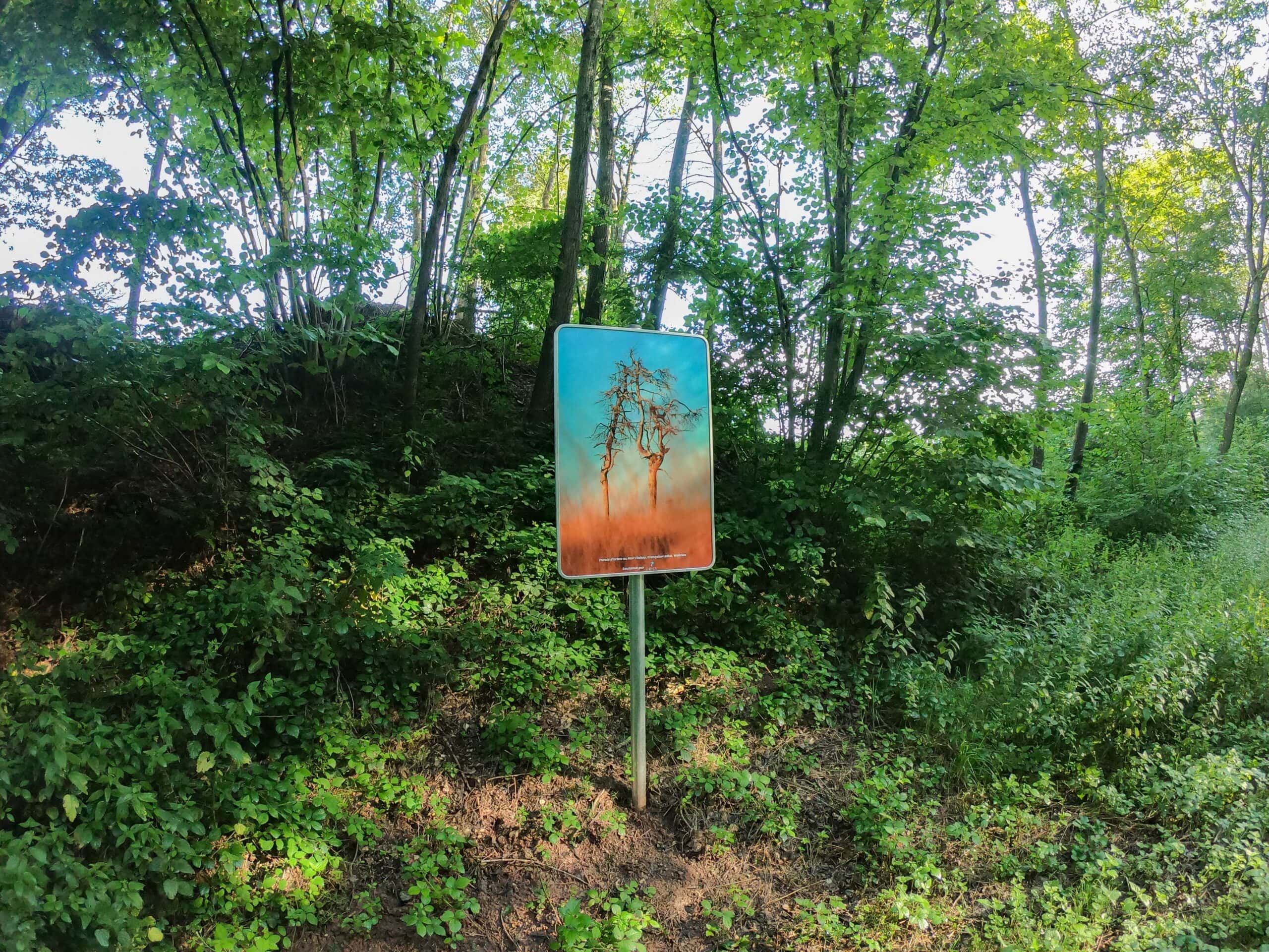
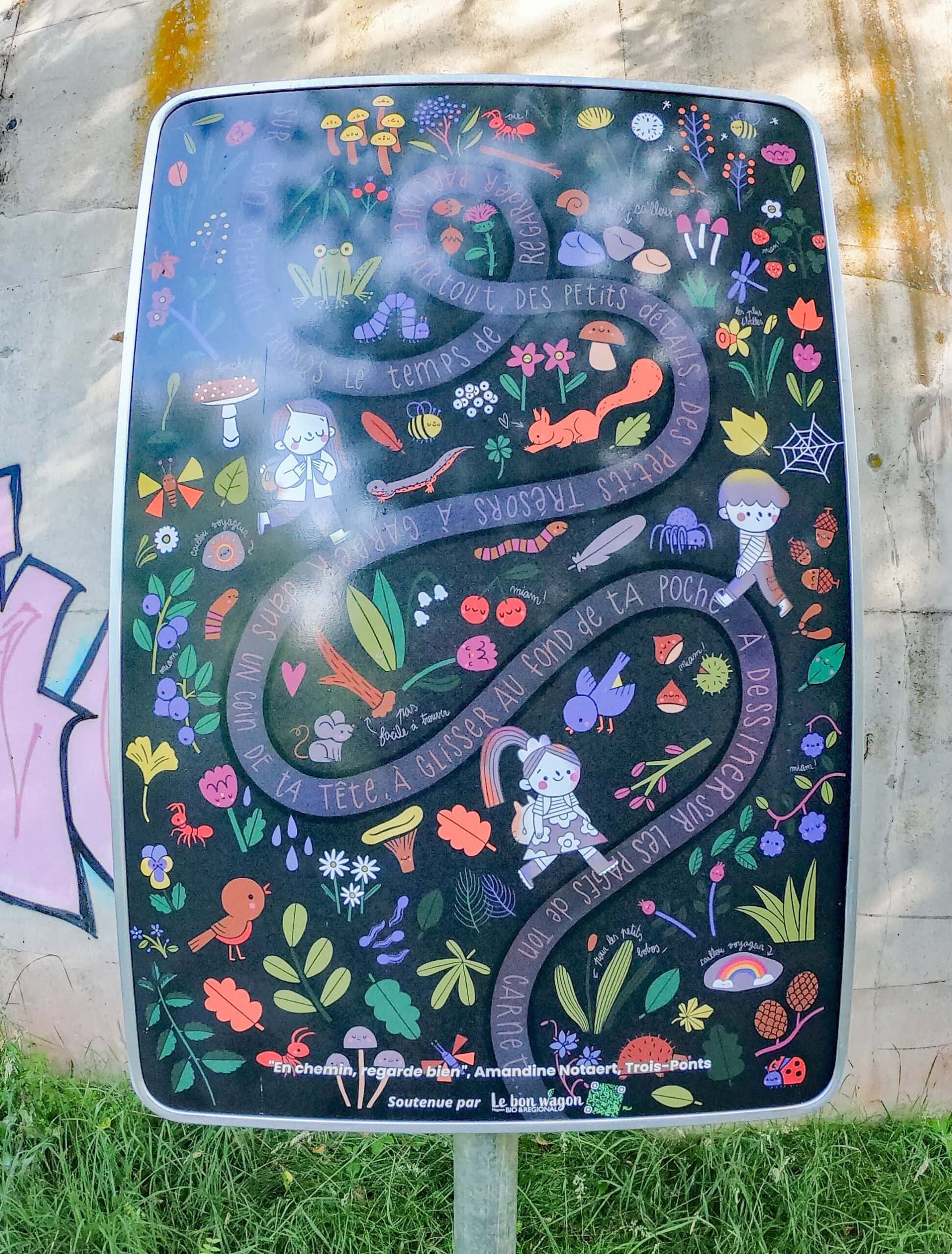
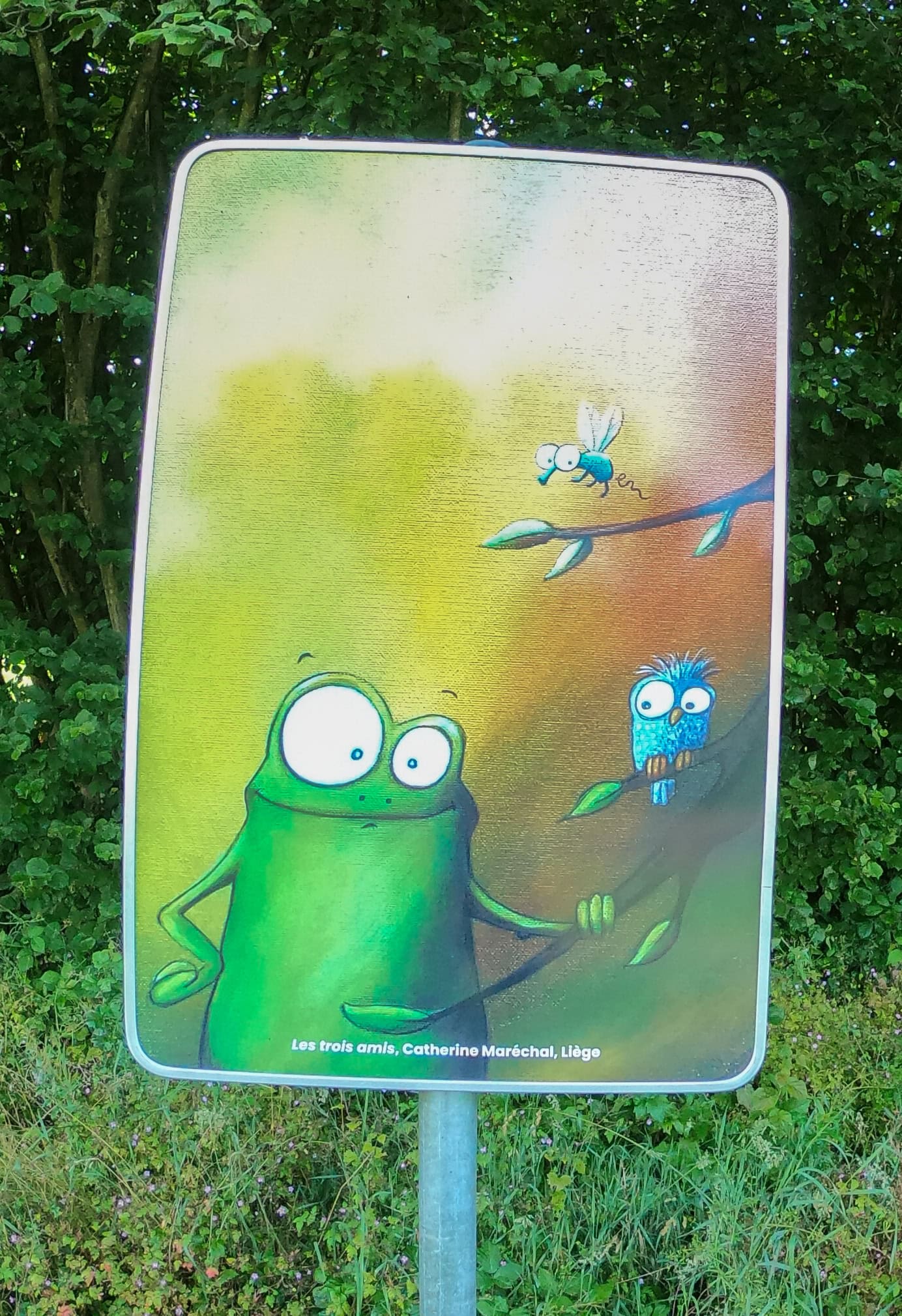
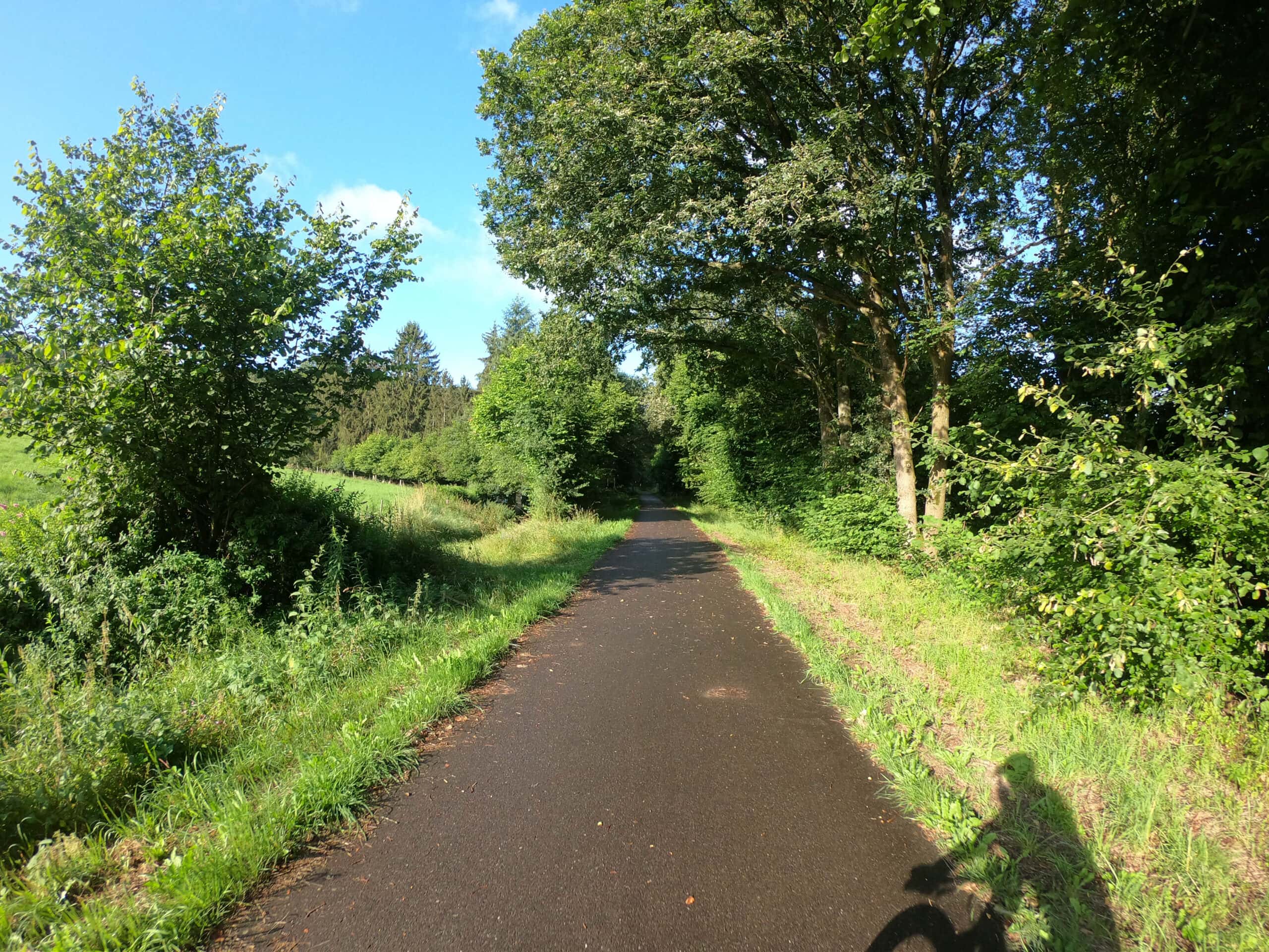
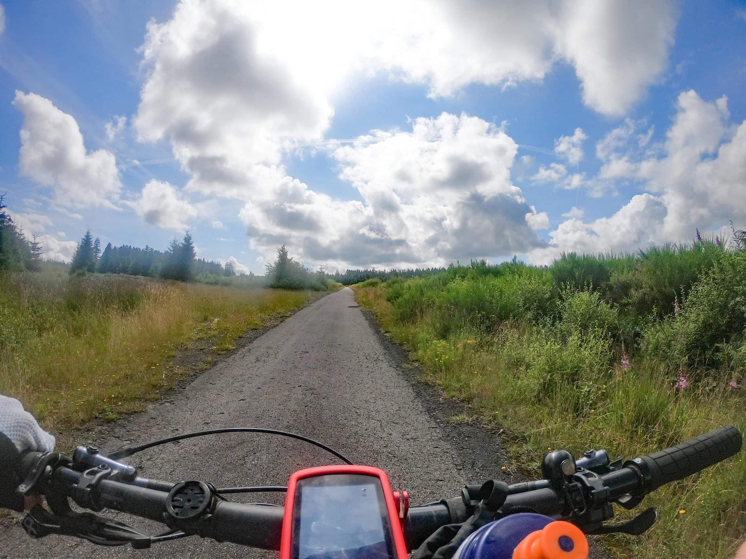
This is a groad-tour: In total, you ride for 53 km on concrete RAVeL roads, for 15 km on gravel paths: 85 km is as good as car-free. Along the first part of the route there are many benches, terraces and works of art. The second part of the route is conditionally tough. Those who keep their eyes open will find plenty of opportunities to stop and rest to take in the scenery and stories explained on information boards. Make it a slow-travel tour!
From km 0 – km 51 follow cycling nodes. From km 51 – km 61 follow the GPS device. From km 61 to km 91 you follow cycling nodes again. Details can be found in the roadbook below.
- Km 0 – km 51: cycling nodes 18 – 95 – 20 – 21 – 12 – 11 – 10 – 9 – 8 – 7 – 3 – 4 – 5 – 73 – 18 – 22 – 23 – 69
- Km 51 – km 61: GPS device: Lac de Warfaaz – Sart-lez-Spa – Solwaster
- Km 61 – km 91: cycling nodes 70 – 58 – 59 – 71 – 76 – 50 – 51 – 80 – 79 – 43 – 44 – 45 – 46 – 14 – 15 – 16 – 17 – 18
1. Bütgenbach – Spa: 51 km via cycle nodes
Cycle nodes: 18 Bütgenbach – 95 – 20 – 21 – 12 – 11 – 10 – 9 – 8 – 7 – 3 – 4 – 5 – 73 – 18 – 22 – 23 – 69 Spa
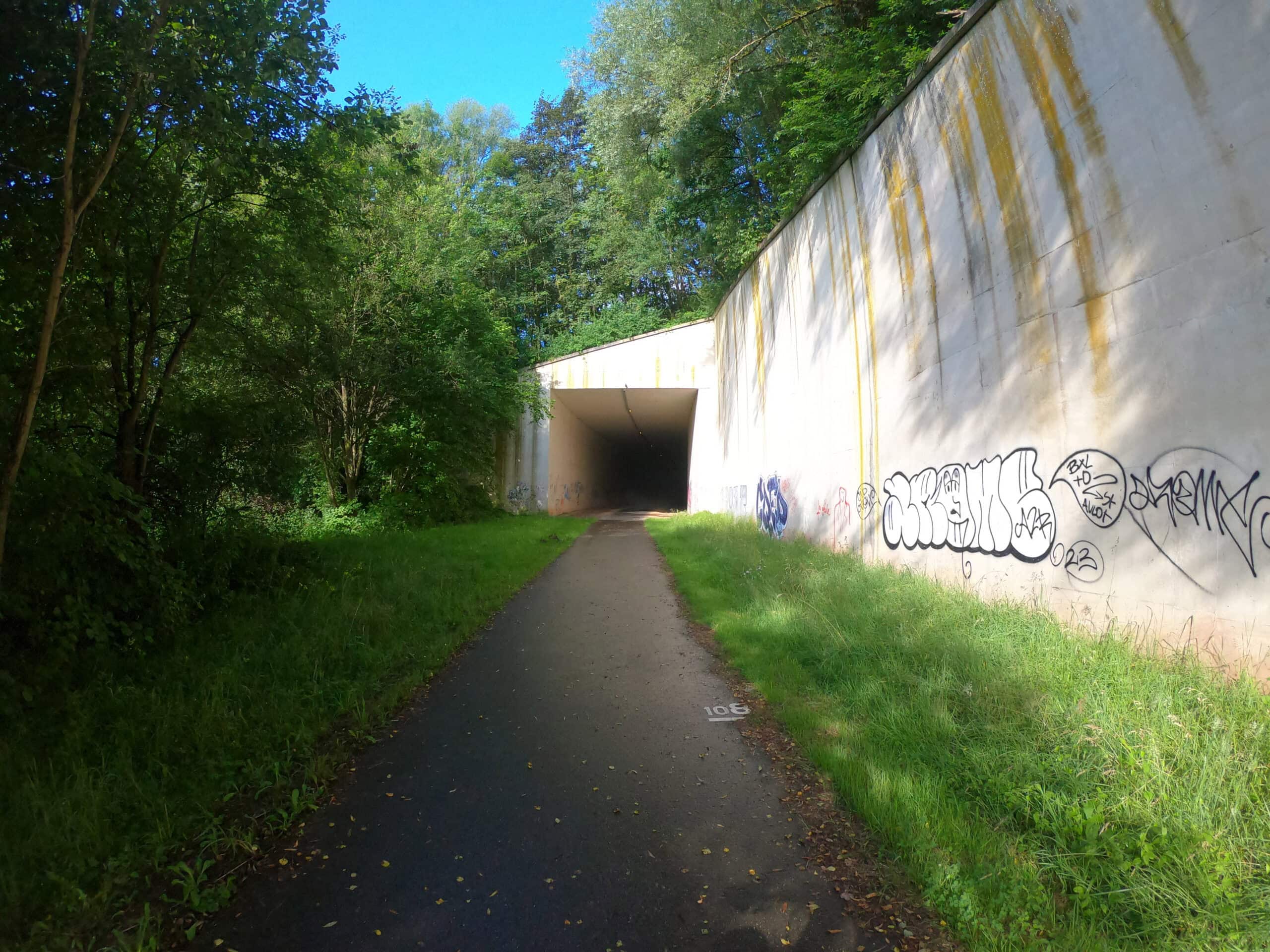
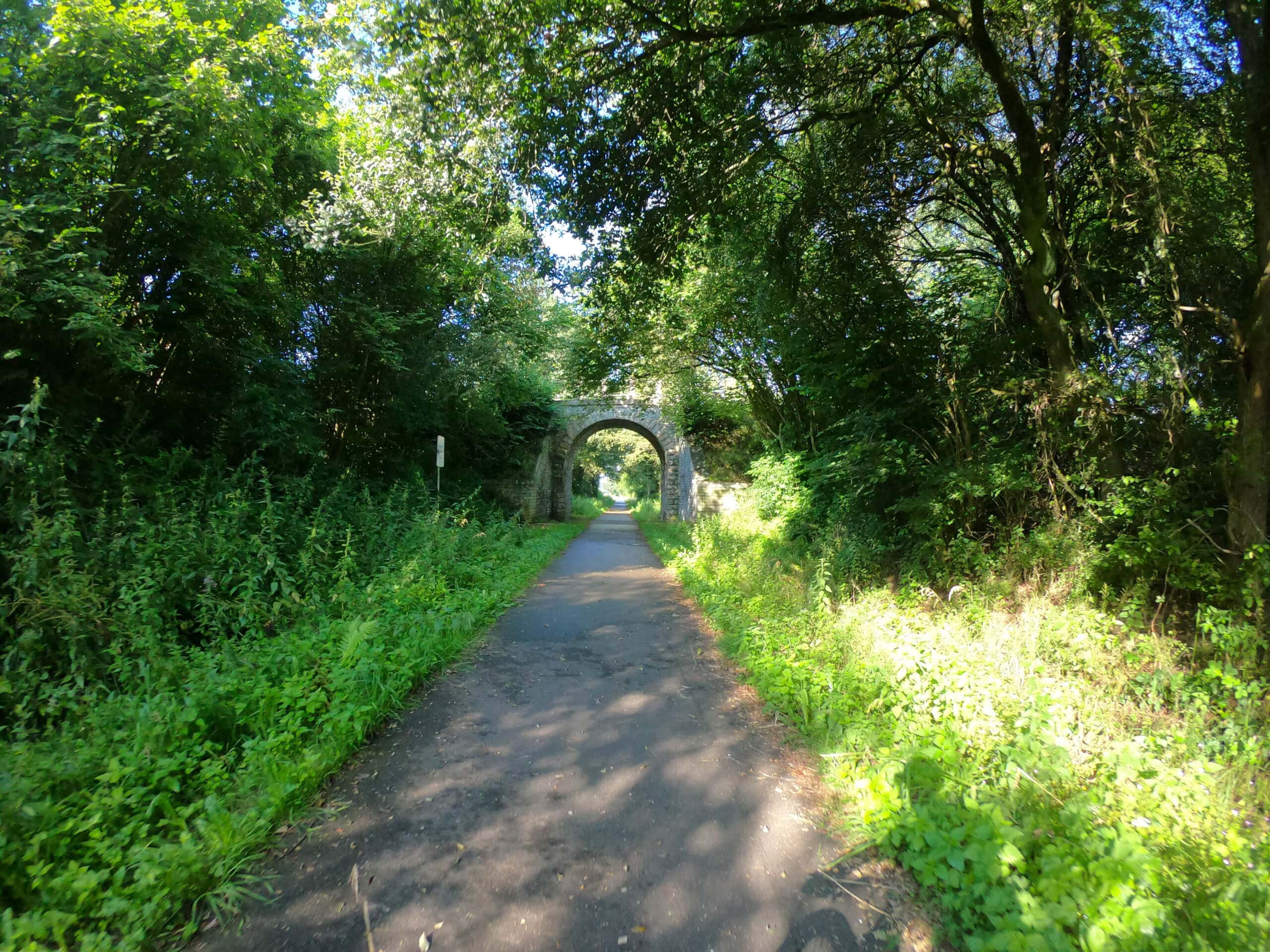
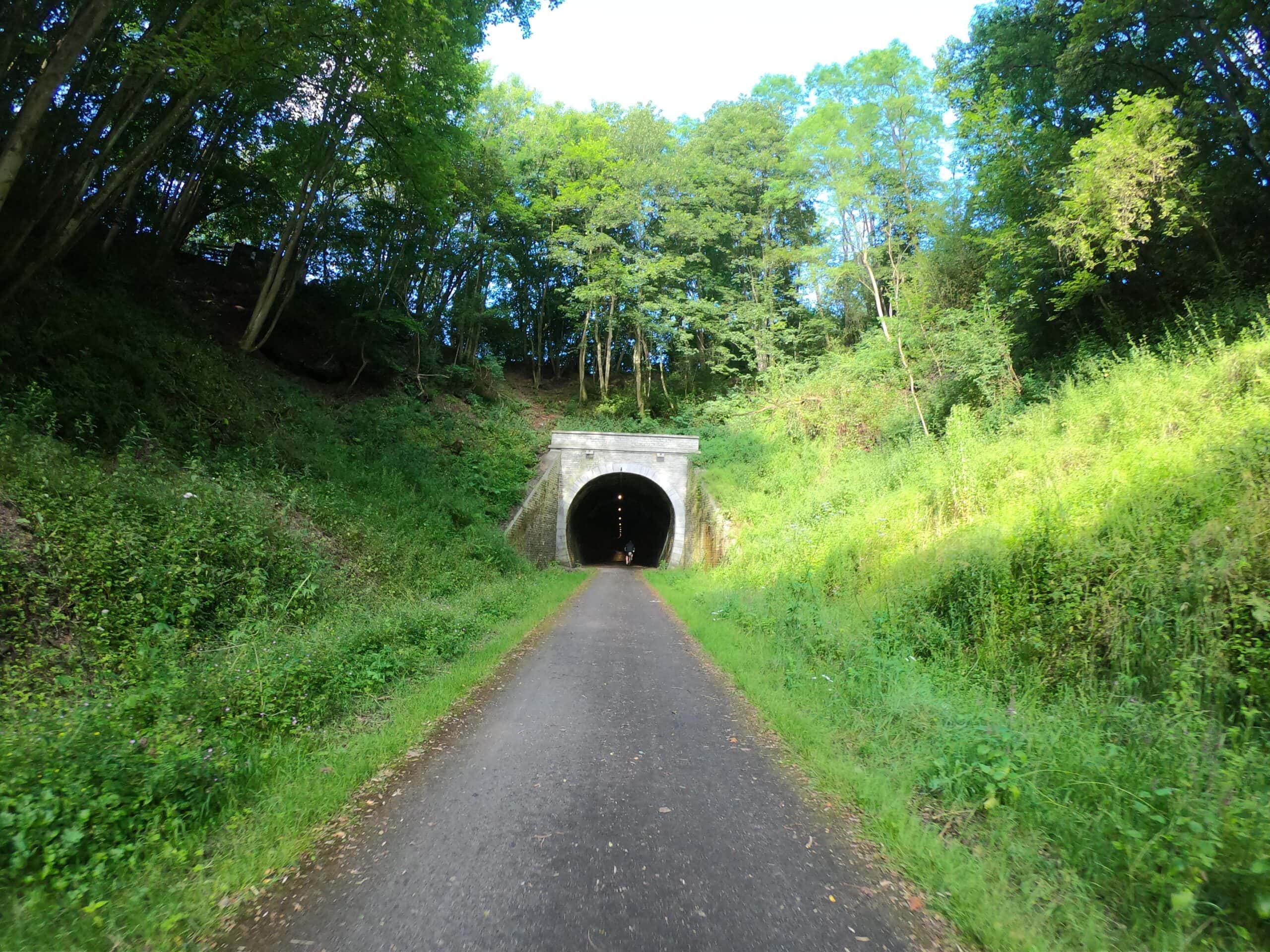
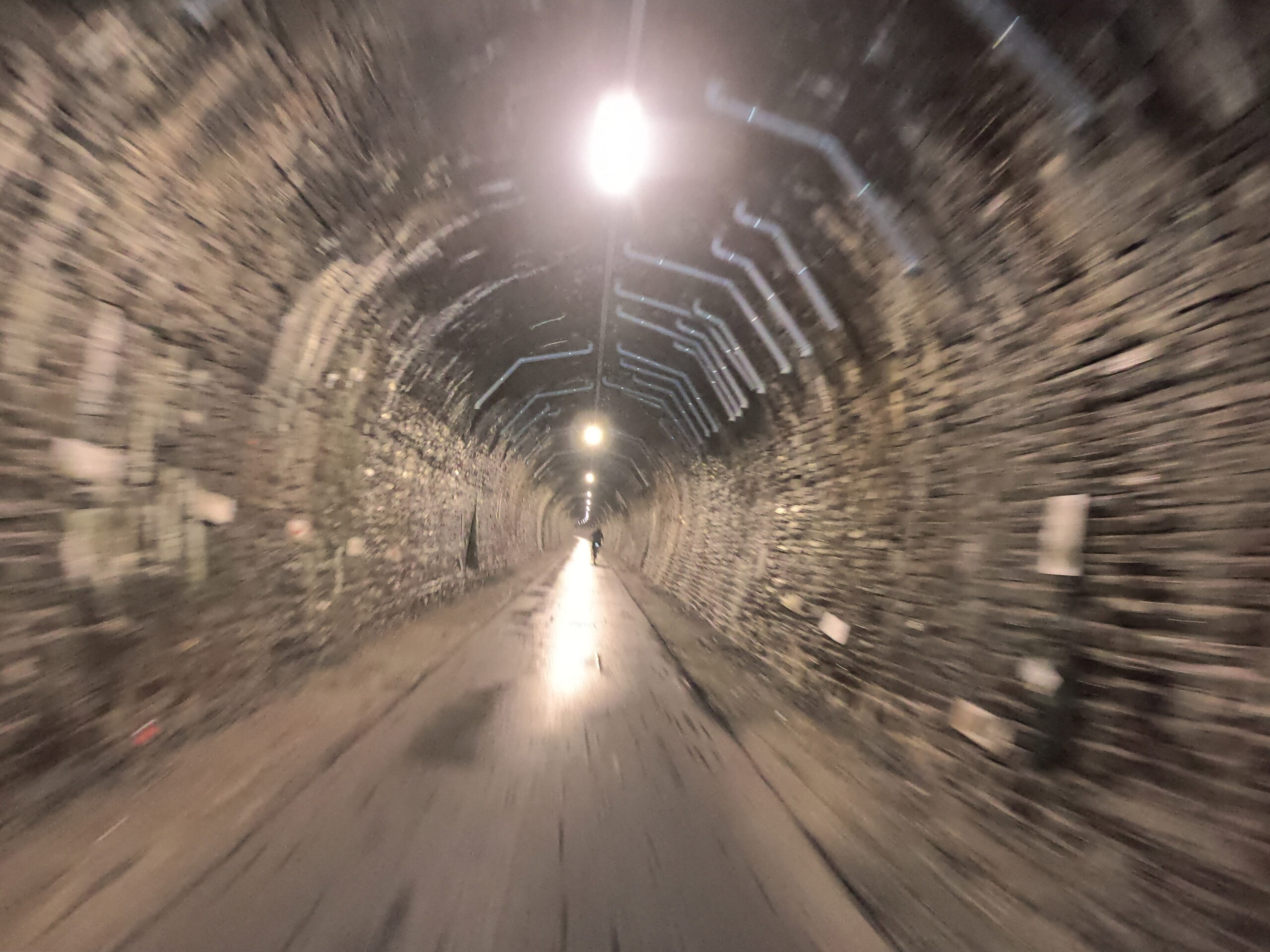
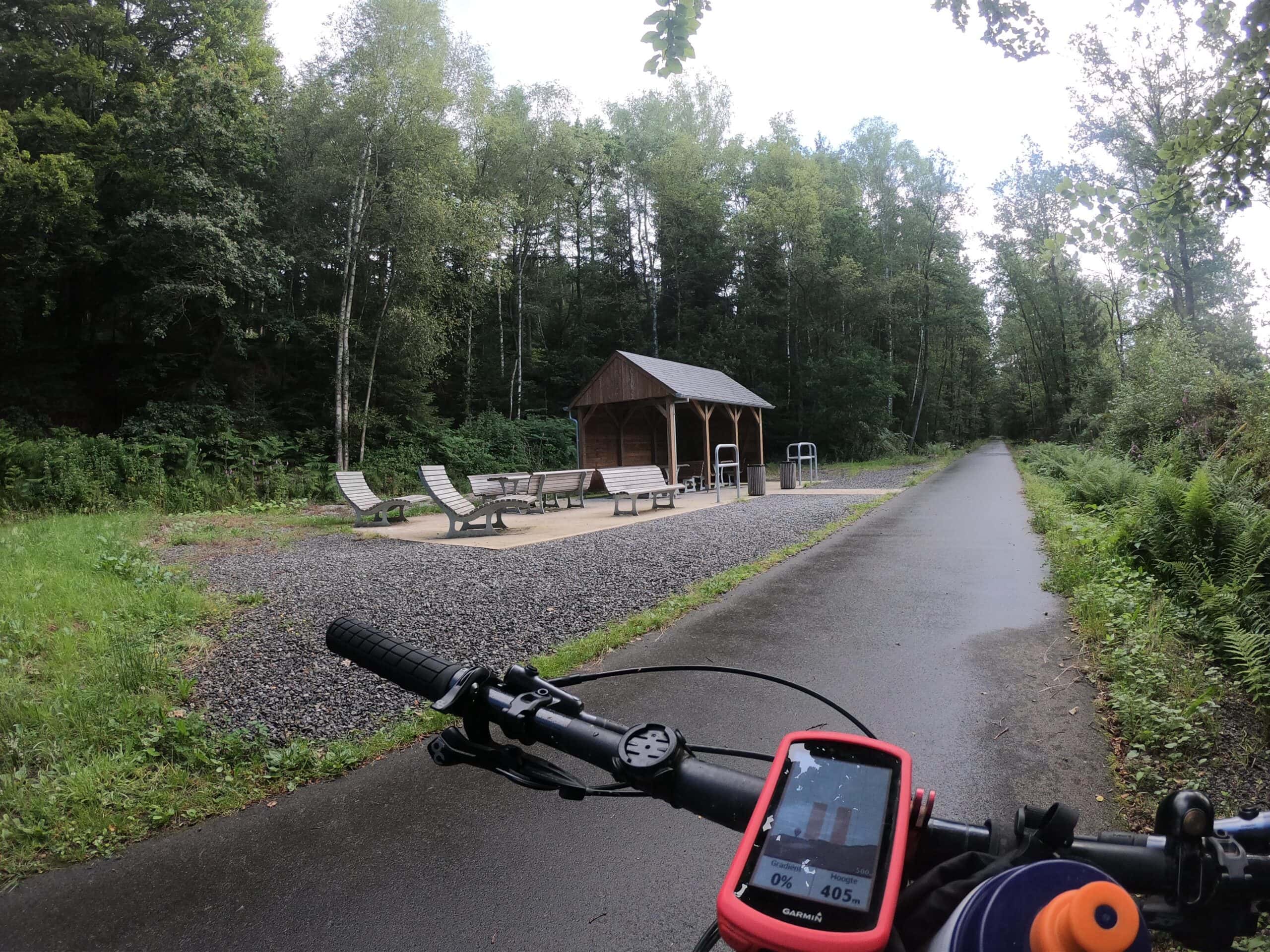
The route starts in the direction of Schoppen and Faymonville where you arrive on the RAVeL L45, which goes downhill most of the time until behind the tunnel in Stavelot.
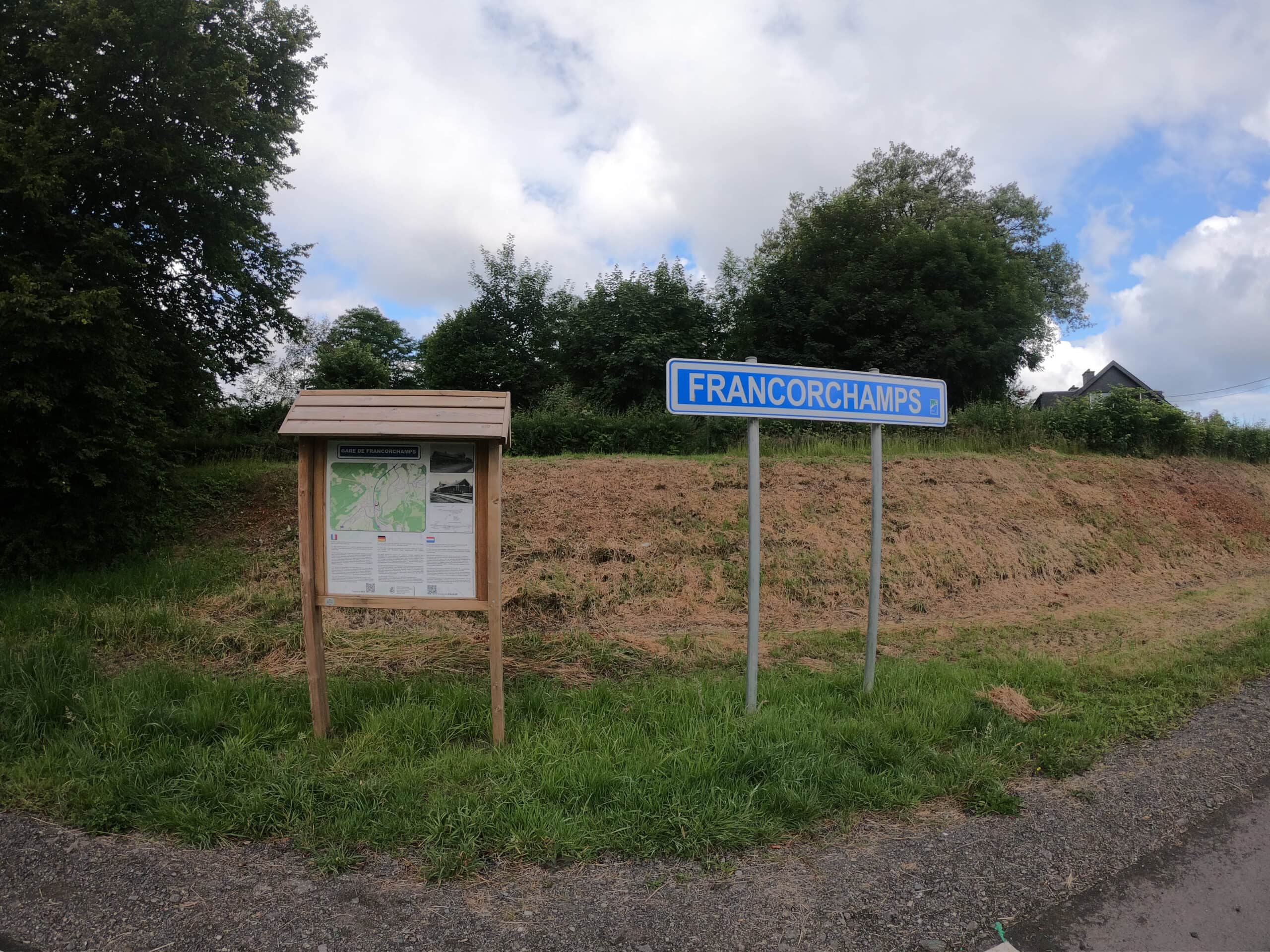
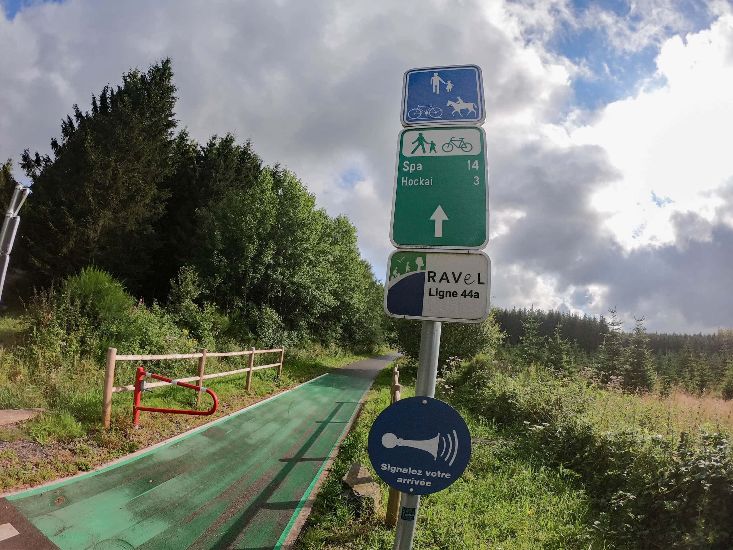
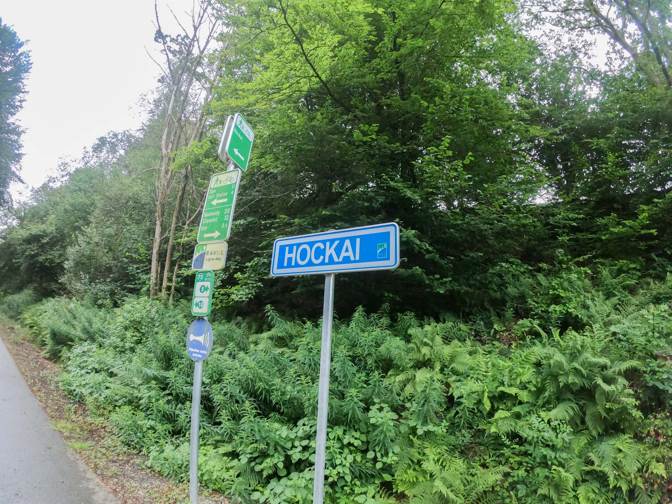
The RAVeL L45 runs through the center of Waimes (several terraces are next to the RAVeL) and along Malmedy and Stavelot: to cycle to its center you have to leave the RAVeL. After the Stavelot tunnel, leave the RAVeL L45 by following the arrow to the right towards Francorchamps, Hockai and Spa. You cross the Stockeu and find yourself on the RAVeL L44, which goes up steadily all the way to Hockai. On the way you’ll be able to see the Spa-Francorchamps circuit. From Hockai you ride down to Spa, where you have already covered 51 km and only 200 meters of elevation gain. You will have to overcome 800 meters of altitude in the remaining 40 kilometers. Anyone who rides an e-bike should charge its battery in Spa if necessary.
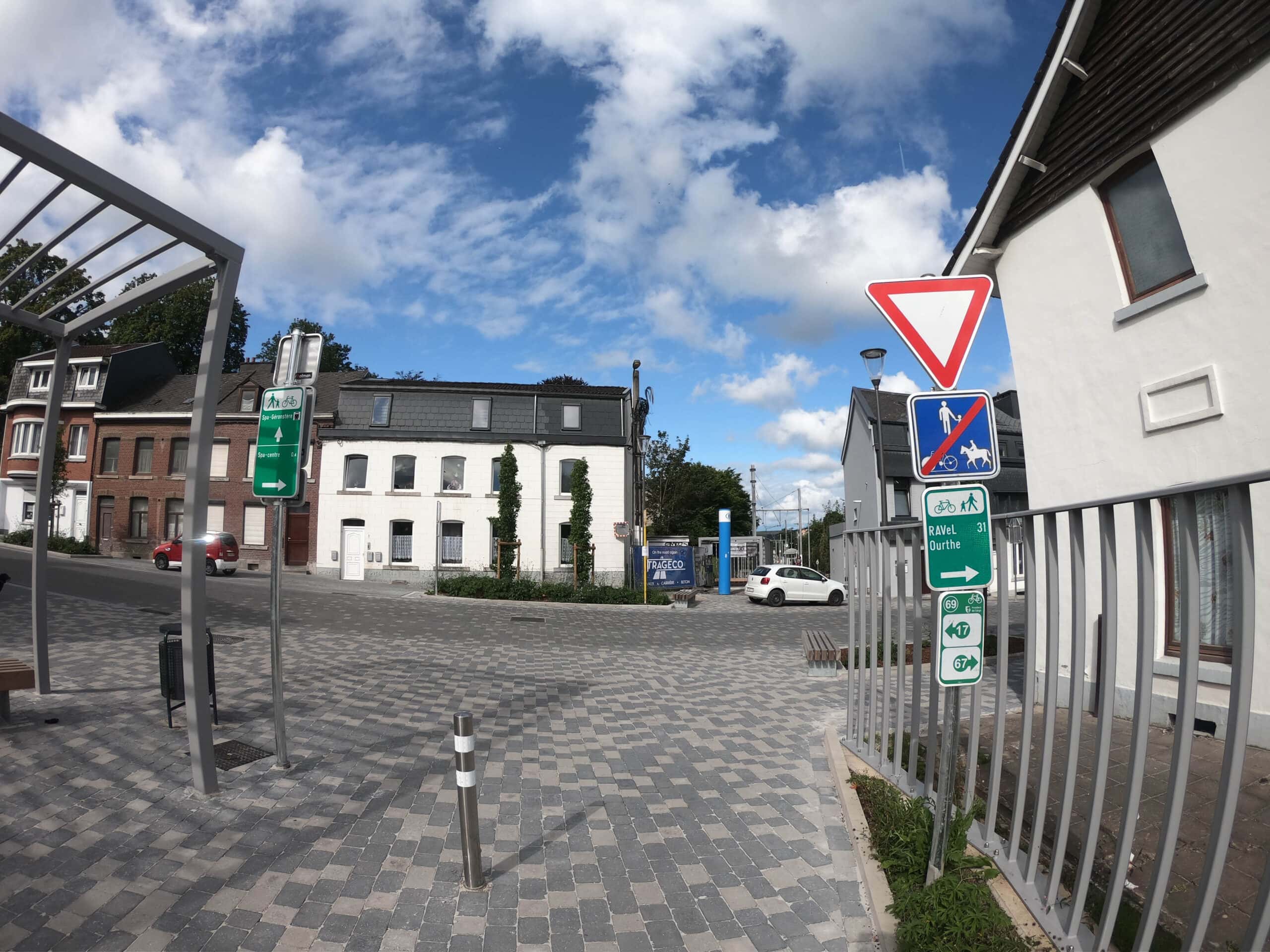
2. Spa – Sart-lez-Spa – Solwaster: follow GPS device for 10 km
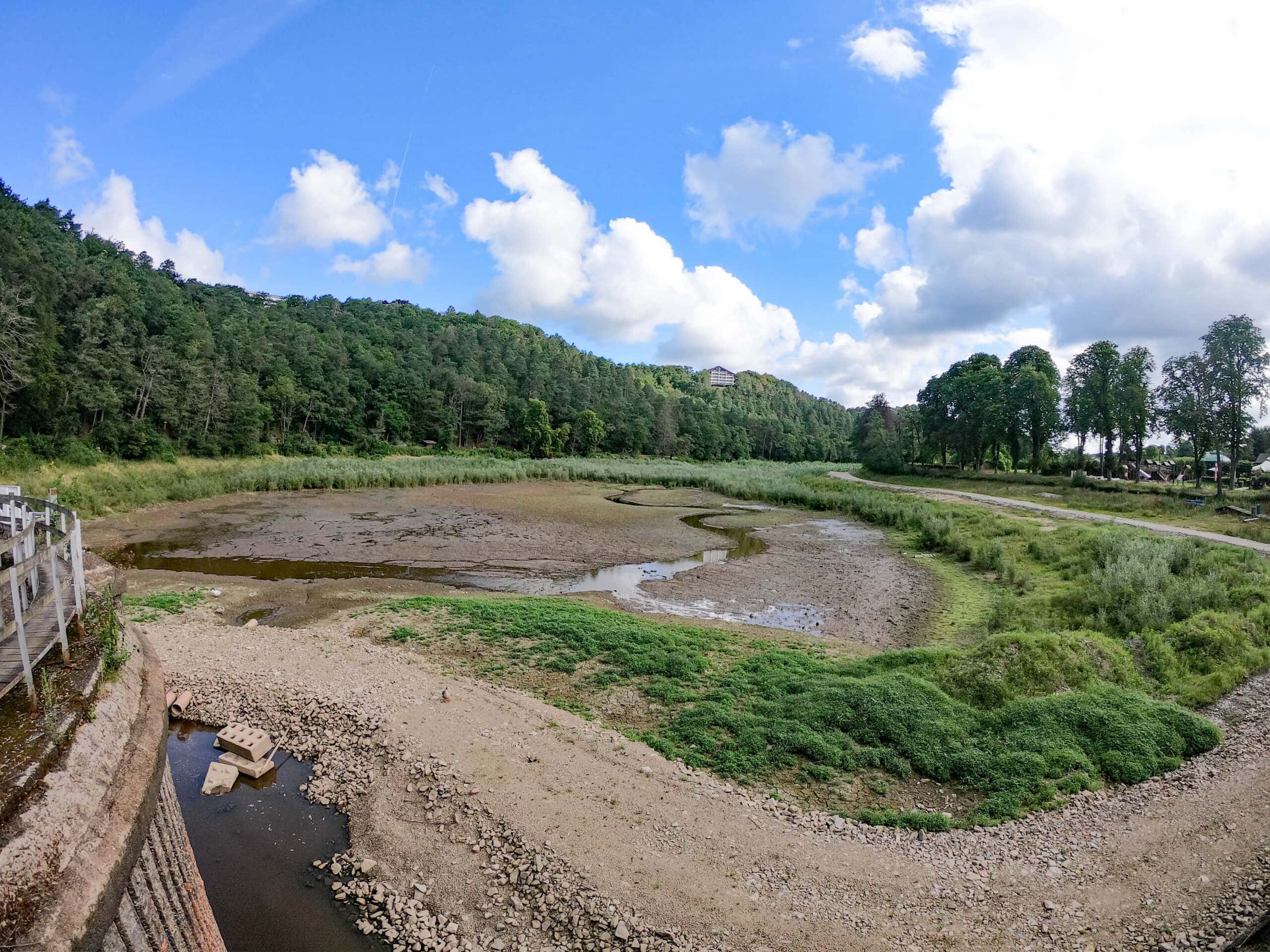
From Spa follow the GPS device towards “Lac de Warfaaz” (dried out), Sart-lez-Spa and Solwaster. A new cycle path was constructed between Sart-lez-Spa and the exit to Solwaster, so that cyclists no longer have to ride along the busy road. Sart-lez-Spa and Solwaster are charming villages with shops, a café, restaurant and bakery.
3. Solwaster – Bütgenbach: 30 km via cycle nodes
Cycle nodes: 70 – 58 – 59 – 71 – 76 – 50 – 51 – 80 – 79 – 43 – 44 – 45 – 46 – 14 – 15 – 16 – 17 – 18 Bütgenbach
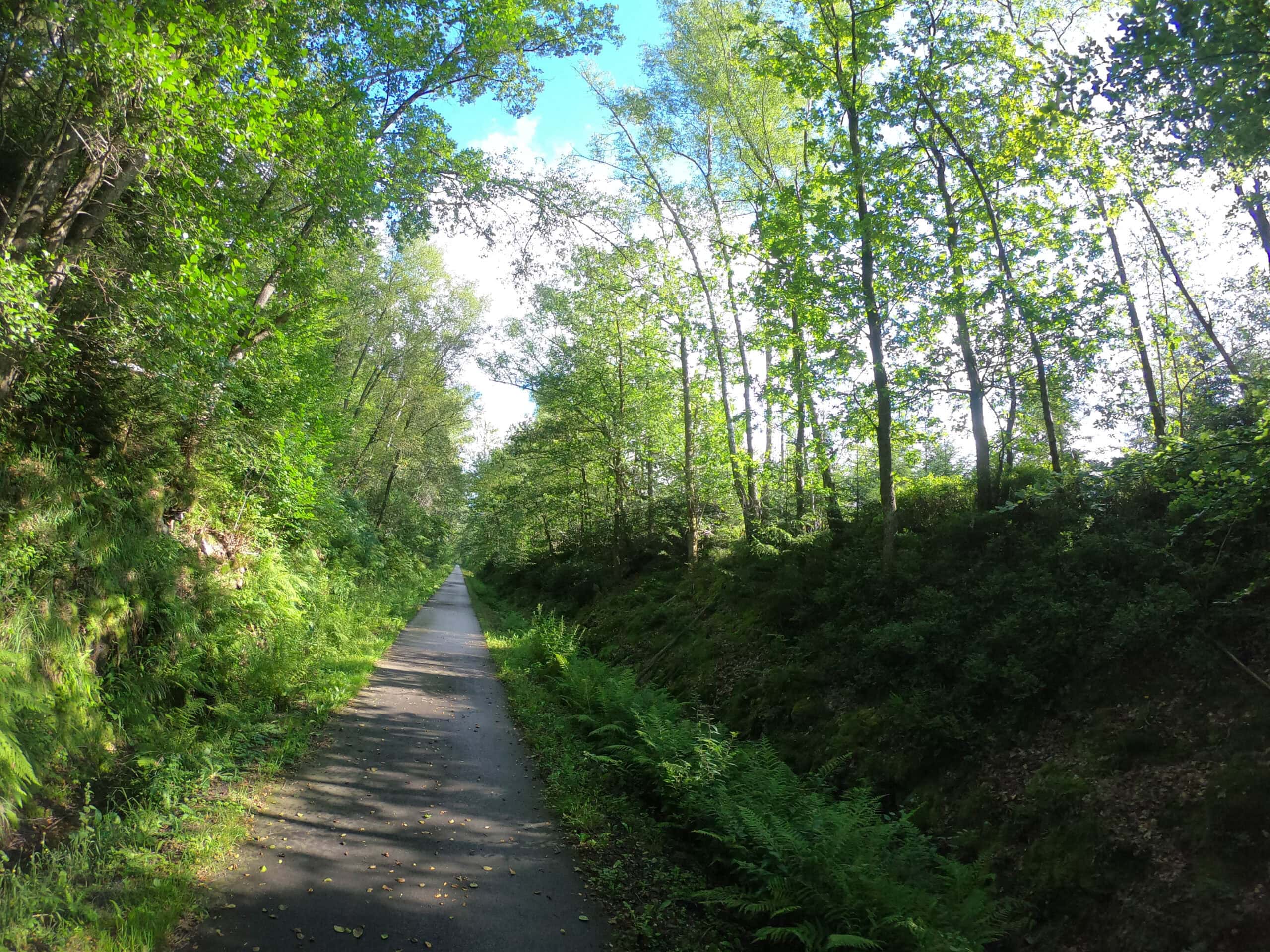
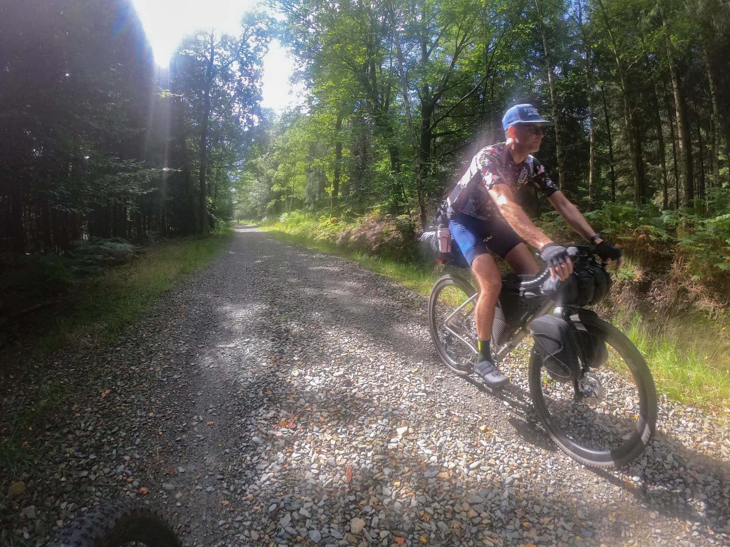
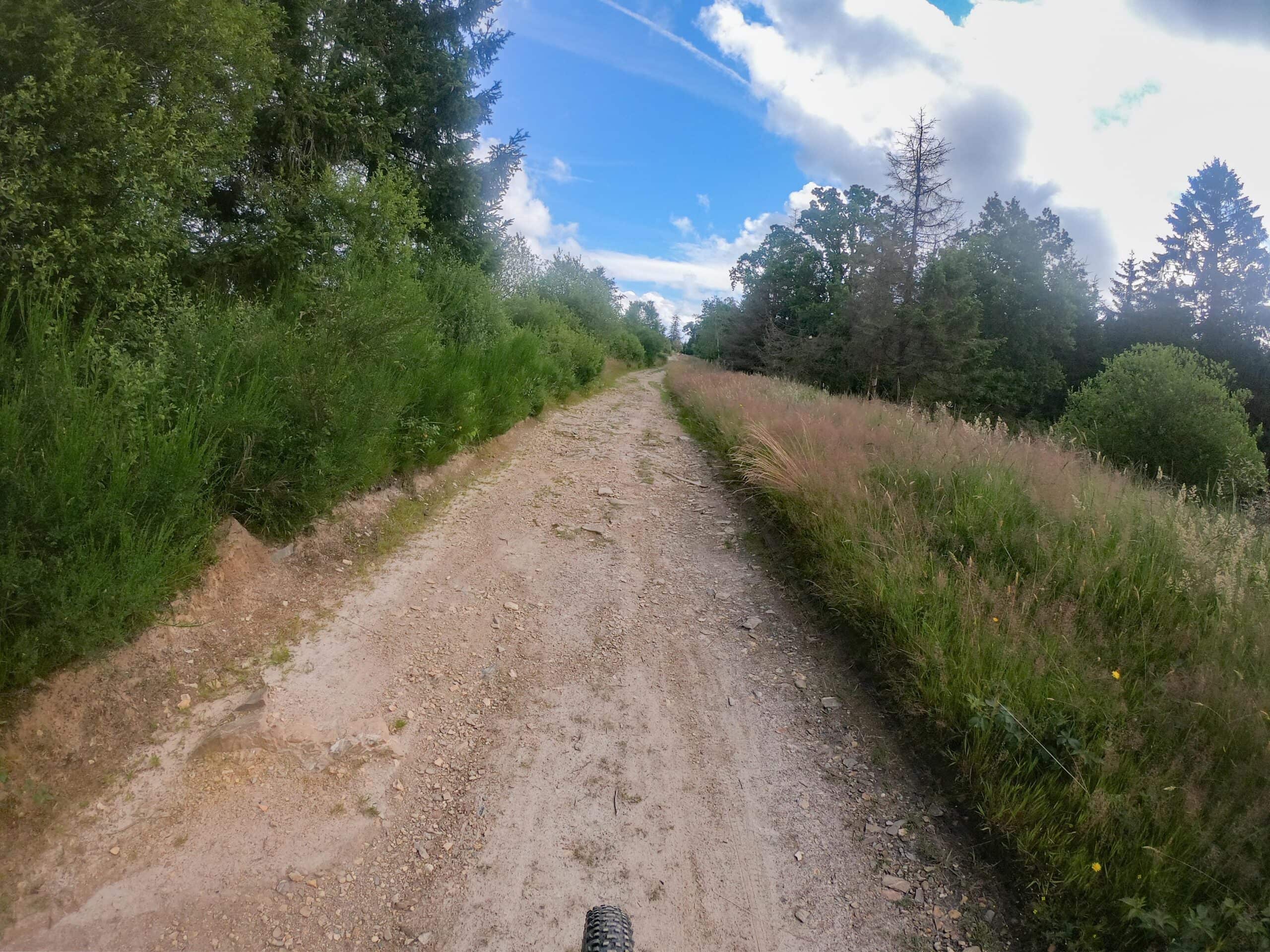
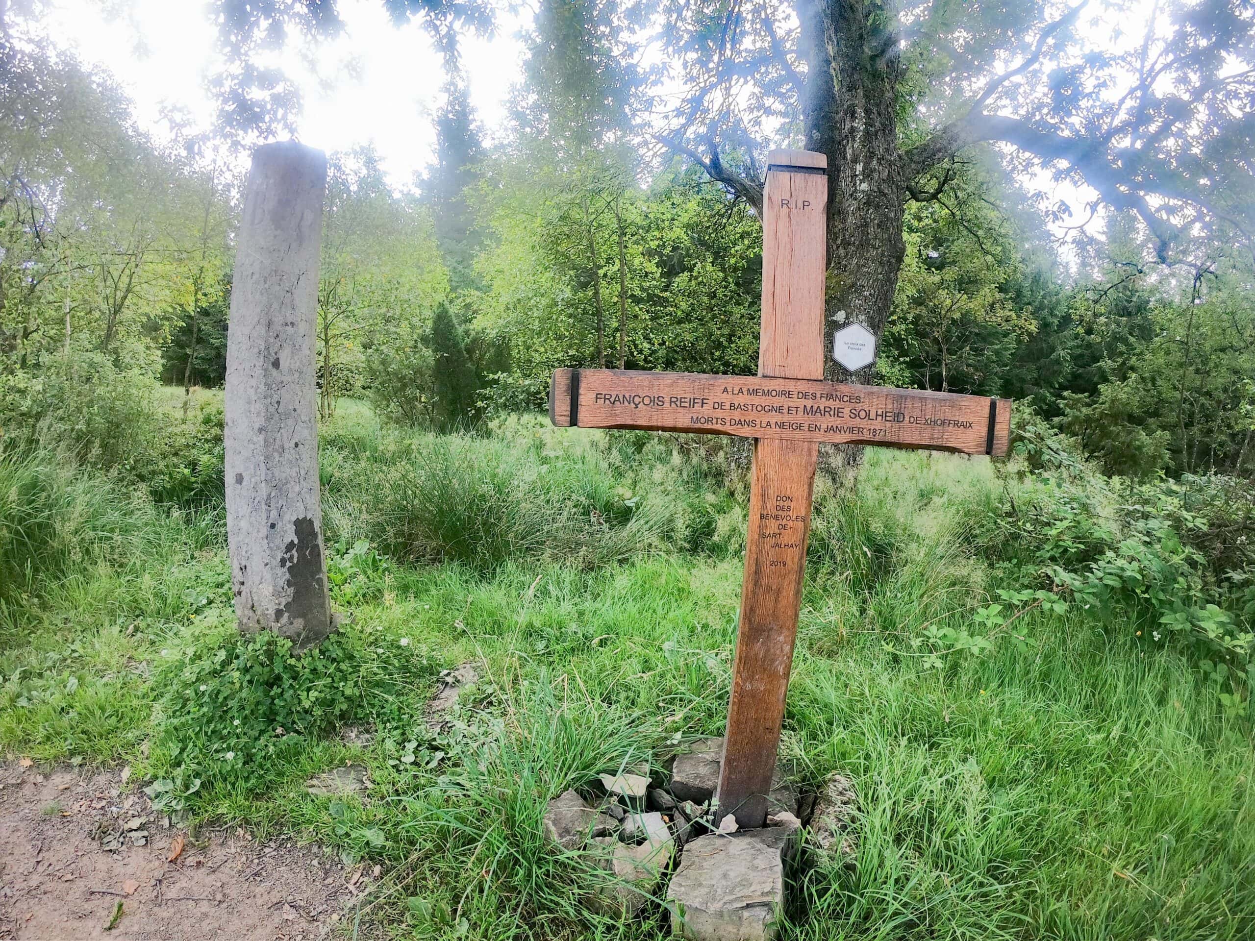
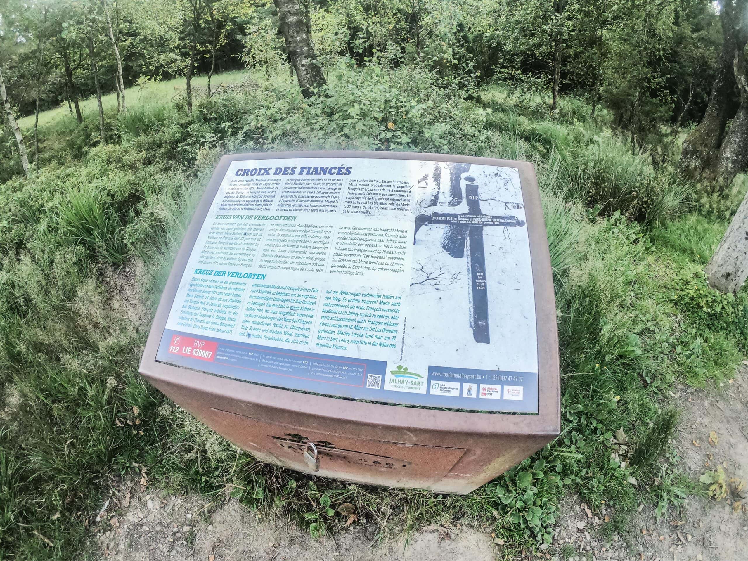
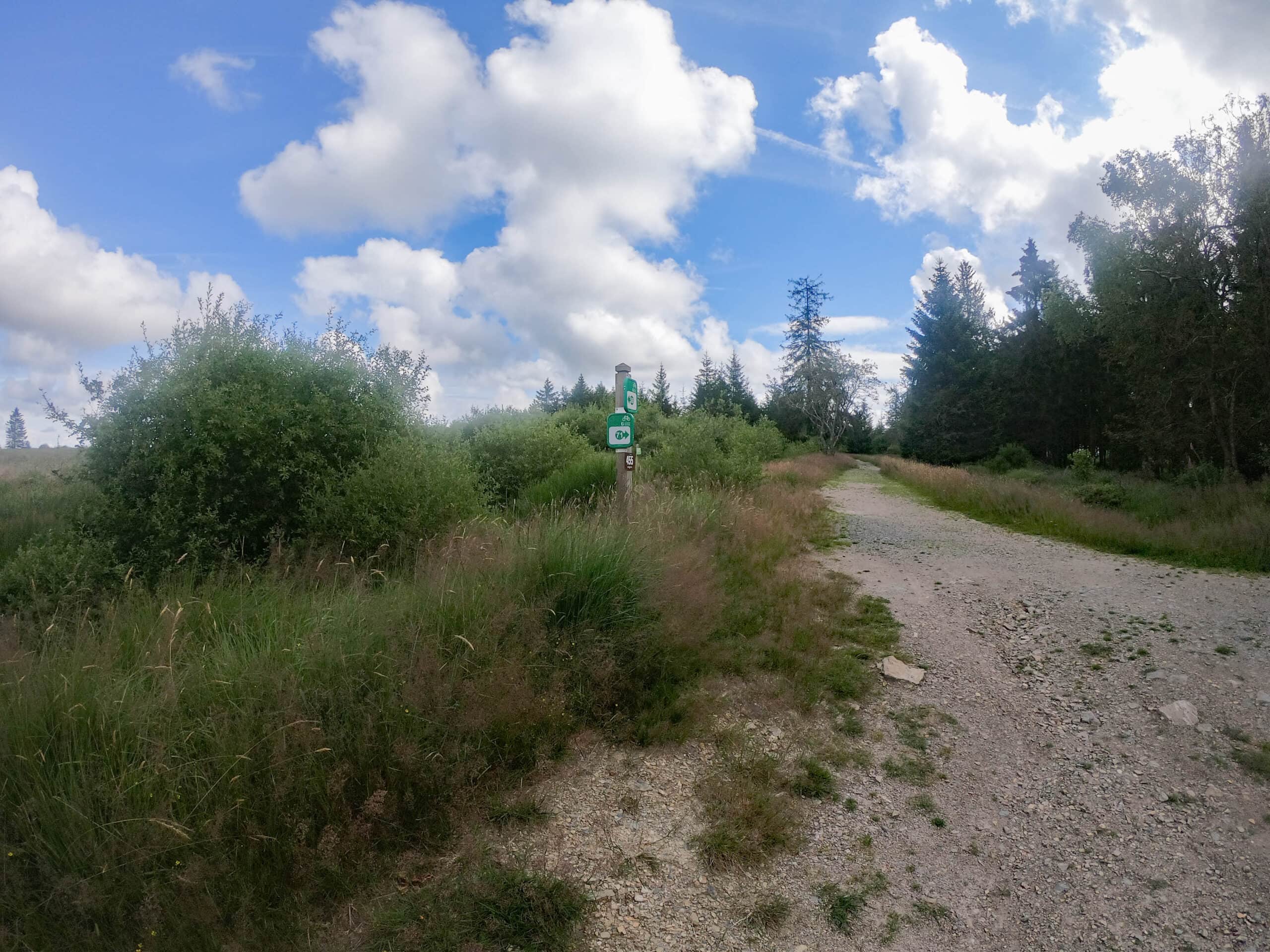
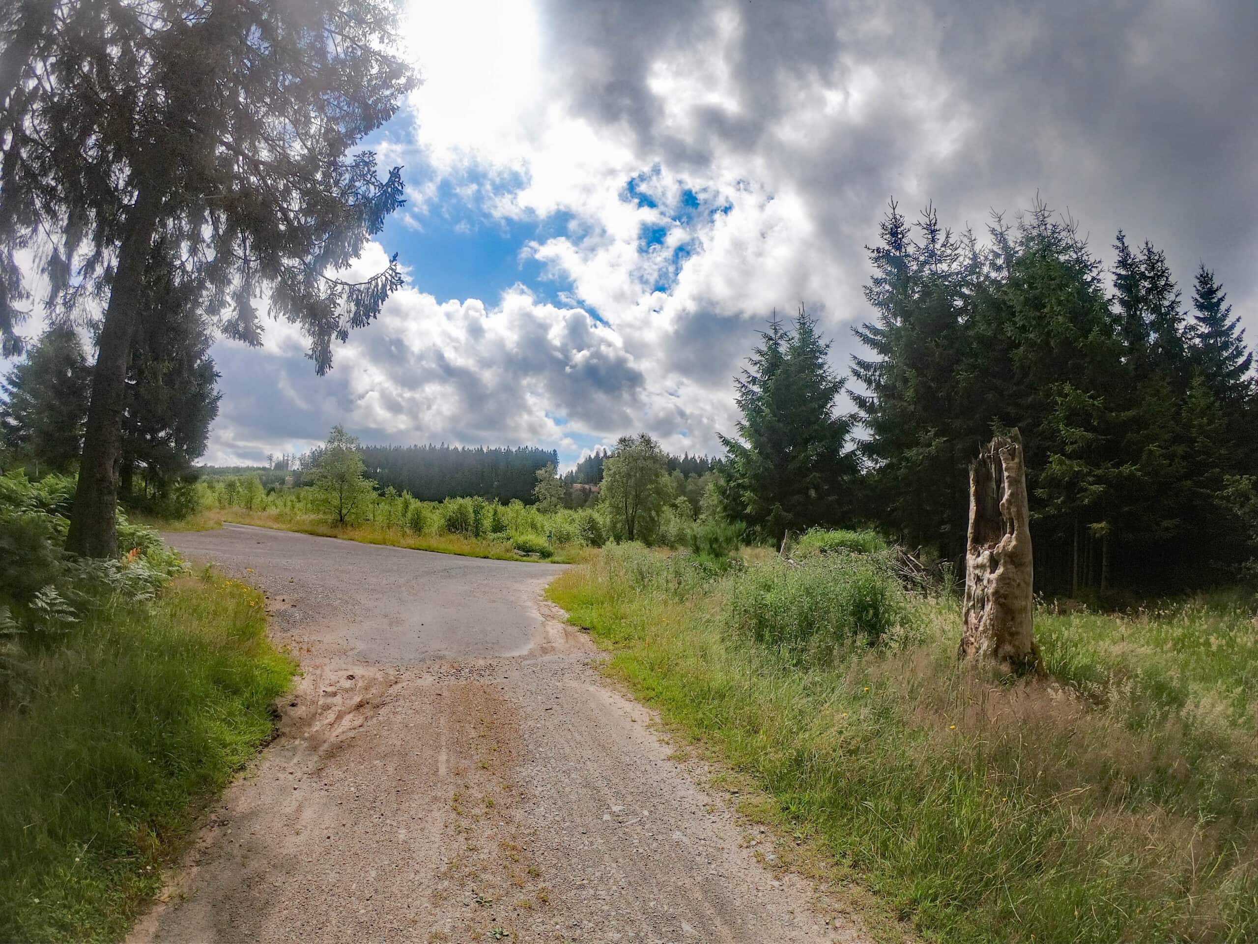
The gravel section starts from Solwaster. You climb over crumbling asphalt roads or real gravel roads to the High Fens. The highlight there, between cycle nodes 59 and 71 on La Vecquee, at km 66, is the cross of the betrothed. When reading their tragic story, your fatigue after the long climb melts away like snow in the sun. The cross of the betrothed is the beginning of a beautiful descent. The Maison du Parc de Botrange located on the Voie Adam is the next intermediate destination. You can also have a drink or a snack here.
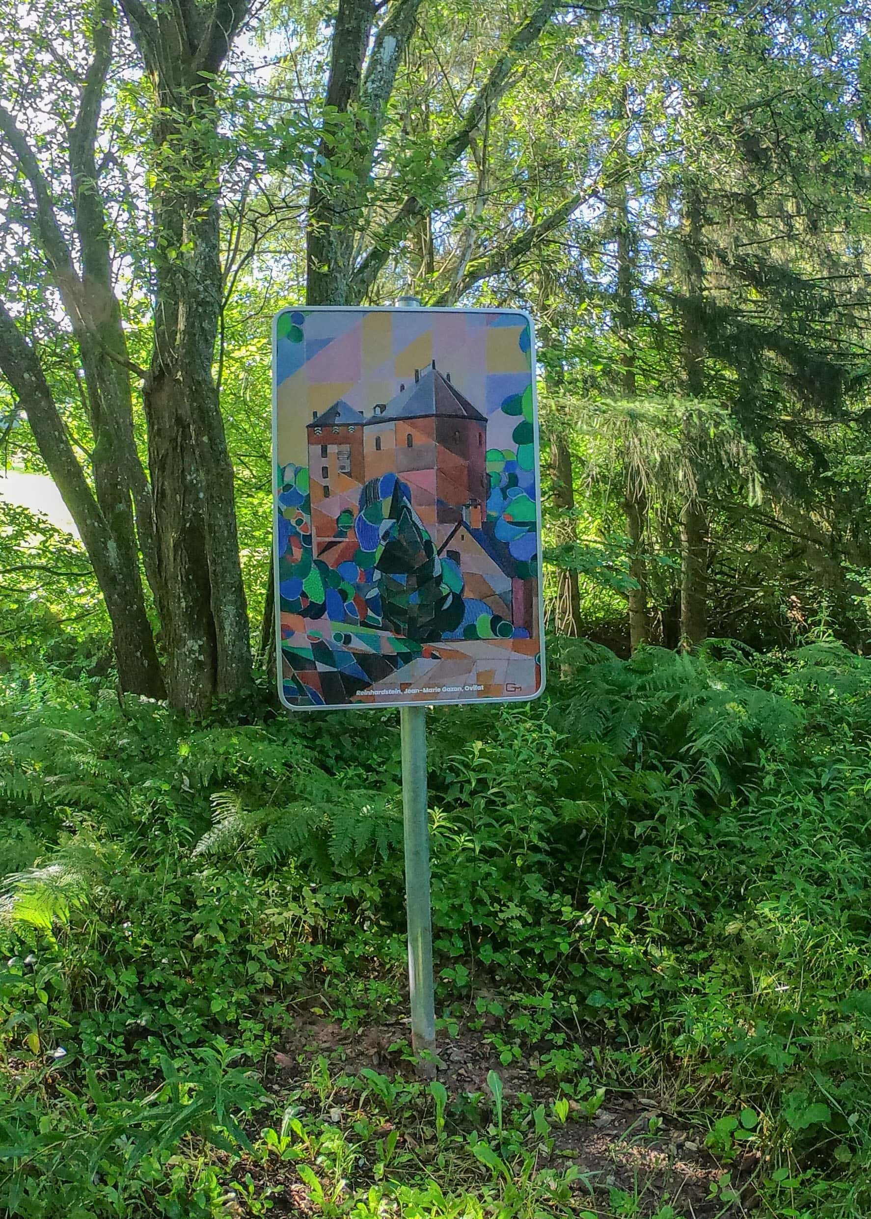
From then on it is mainly downhill until the RAVeL in Sourbrodt (RAVeL L48/Vennbahn). In Weywertz, when you see and hear the piece of art from Daniel Jodocy, it’s time to change the RAVeL: instead of RAVeL L48, you now follow the RAVeL L45a until node 18 in Bütgenbach. After the ride, the terraces here invite you to step by😊.
Details
Code :
KUNST
Start :
Bütgenbach, former station CN18 in Seestraße
End :
Bütgenbach, former station CN18 in Seestraße
Km :
91km
Vertical meters :
1000m
Off-road :
16%