


High Fens & F1 by bike
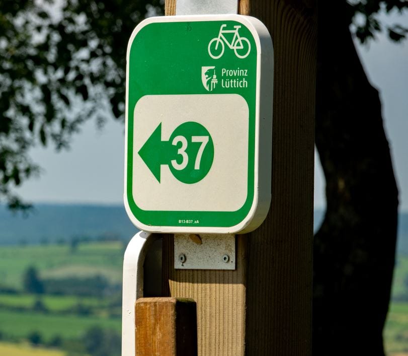
Cycling nodes:
18 – 17 – 16 – 15 – 14 – 46 – 45 – 44 – 43 – 79 – 80 – 51 – 50 – 76 – 71 – 75 – 74 – 73 – 05 – 04 – 03 – 07 – 08 – 09 – 10 – 11 – 12 – 14 – 15 – 95 – 18
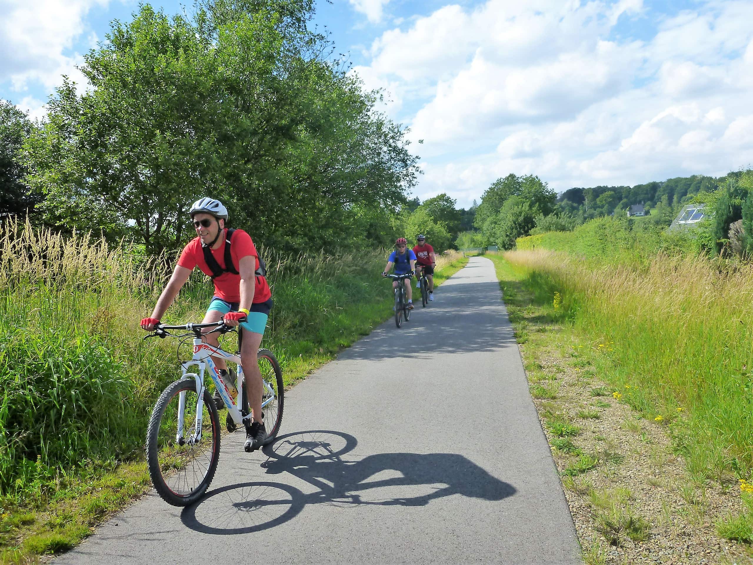
Nature and culture! That’s what you can expect during this relatively flat, almost completely traffic-free cycling tour in the Ardennes. You cycle through a railway open-air museum to the High Fens, along the F1-circuit from Spa-Francorchamps to the Ardennes hills of Stavelot and Malmedy and through the beaver valley of Waimes back to the idyllic scenery of Bütgenbach, your starting point.
Cycling in the Ardennes is usually associated with a lot of climbing and descending. This cycling tour is an exception to the rule because you follow 45 km of old, deserted railway lines, also referred to as RAVeLs. This is a relatively flat cycling tour where you get to know totally different landscapes and an industrial heritage that testifies in silence to the decayed railway glory during the first half of the twentieth century.
This is what you will see during this cycling loop: the hedgerow landscape of Bütgenbach and its surroundings (hedges, meadows and wide views), the former railway station area of Sourbrodt (an open-air museum under construction) with wagons, 2 steam locomotives, 2 signal boxes, a train turntable, a platform for heavy vehicles and a Prussian-style station building, the High Fens between Sourbrodt and Jalhay, the F1 circuit at Spa-Francorchamps, the Ardennes hills around Stavelot and Malmedy, the Waimes beaver valley.
The cycle route crosses several villages. The town centres of Stavelot and Malmedy are also not far from the RAVeL, so you’ll have plenty of opportunities to eat or drink along the way.
Finally, the route is almost traffic-free: you cycle for 46 km on a traffic-free RAVeL, for 10 km on traffic-free forest roads. The RAVeLs and the nature reserves are connected via low-traffic streets (12 km).
Tipp
- Cities of Stavelot and Malmedy are near (add +/- 4 km to go and return to the RAVeL to and from both cities). Nice cities to visit! Why not make a day trip out of this bike excursion? Take it easy and don’t hurry!
- If 66 km isn’t long enough, plan a detour of 2,7 km to Botrange, the highest point of Belgium (697 m above sealevel). Your “climb” will be rewarded with a nice panorama. How to get at the highest point? Insert cycle node 52 in between 51 and 50. Thus after 51, follow 52 and then 50.

You can import the route by scanning the QR code via the NodeMapp application.
Details
Code :
Start :
Marktplatz, Bütgenbach (HN 95><18)
End :
Marktplatz, Bütgenbach (HN 95><18)
Km :
68km
Vertical meters :
485m
Off-road :
10%