


Franken-Ride
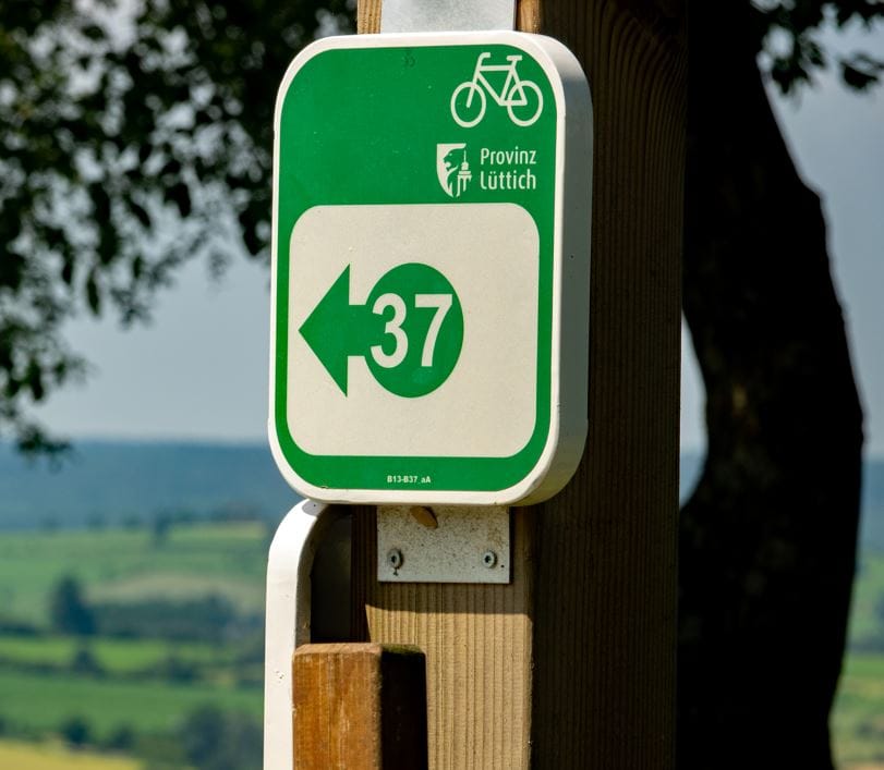
Cycling nodes:
18 – 19 – 22 – 23 – 24 – 26 – 3 – 9 – 14 – 16 – 12 – 13 – 37 – 40 – 38 – 35 – 39 – 32 – 34 – 30 – 28 – 11 – 12 – 14 – 15 – 16 – 17 – 18
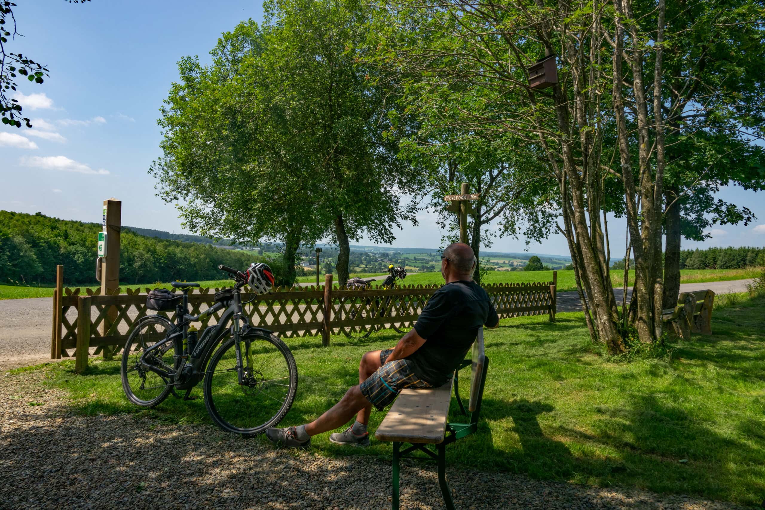
This is a superb route for confirmed all terrain bike cyclists (E-bikes, city-bikes etc). Follow cycle nodes and discover the idyllic Frankenbach Valley and afterwards the magnificent Eifel panoramas. The beauty of nature will be worth your efforts to cycle off. In total: 32 km on RAVeL (flat + asphalt). Attention: 5 km on gravel path.
Tipp

You can import the route by scanning the QR code via the NodeMapp application.
Details
Code :
FRANK
Start :
Ehem. Bahnhof, 4750 Bütgenbach = FKP18
End :
Ehem. Bahnhof, 4750 Bütgenbach = FKP19
Km :
60.5km
Vertical meters :
497m
Off-road :
15%