


Col de Botrange
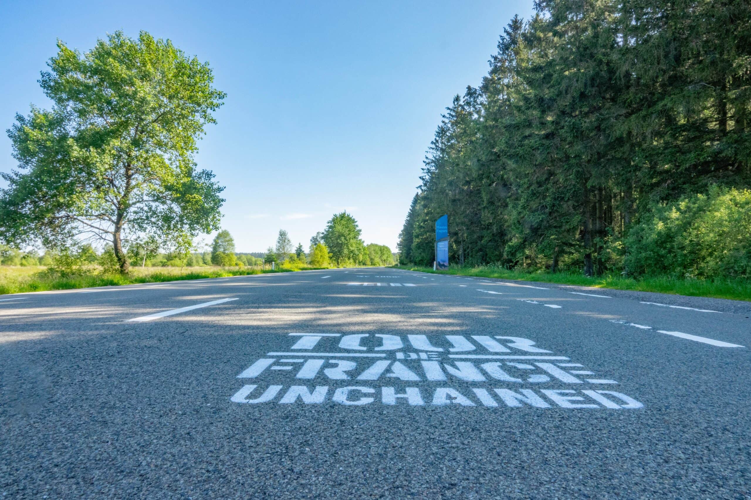
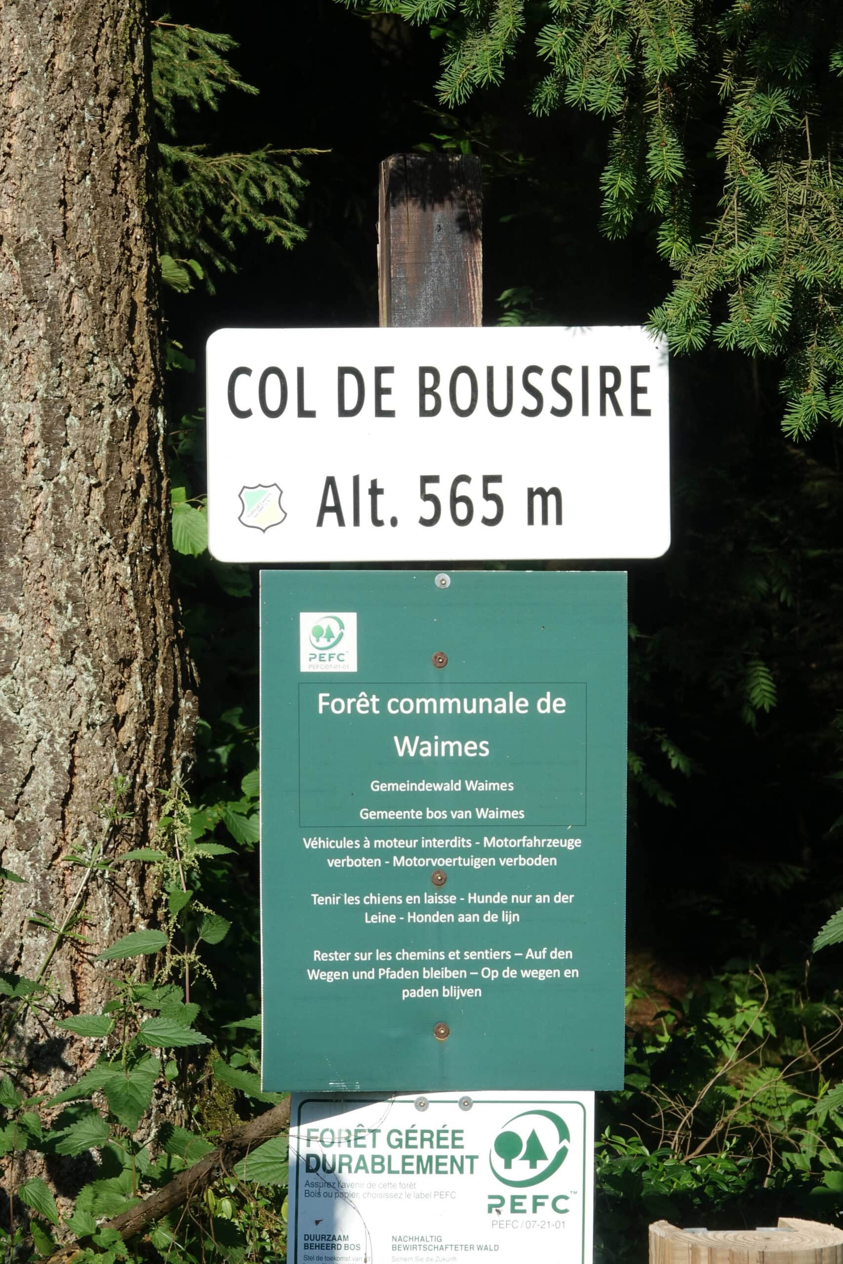
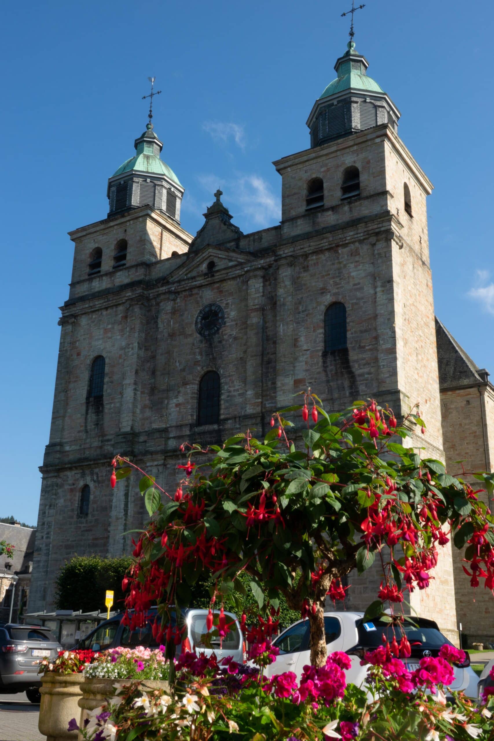
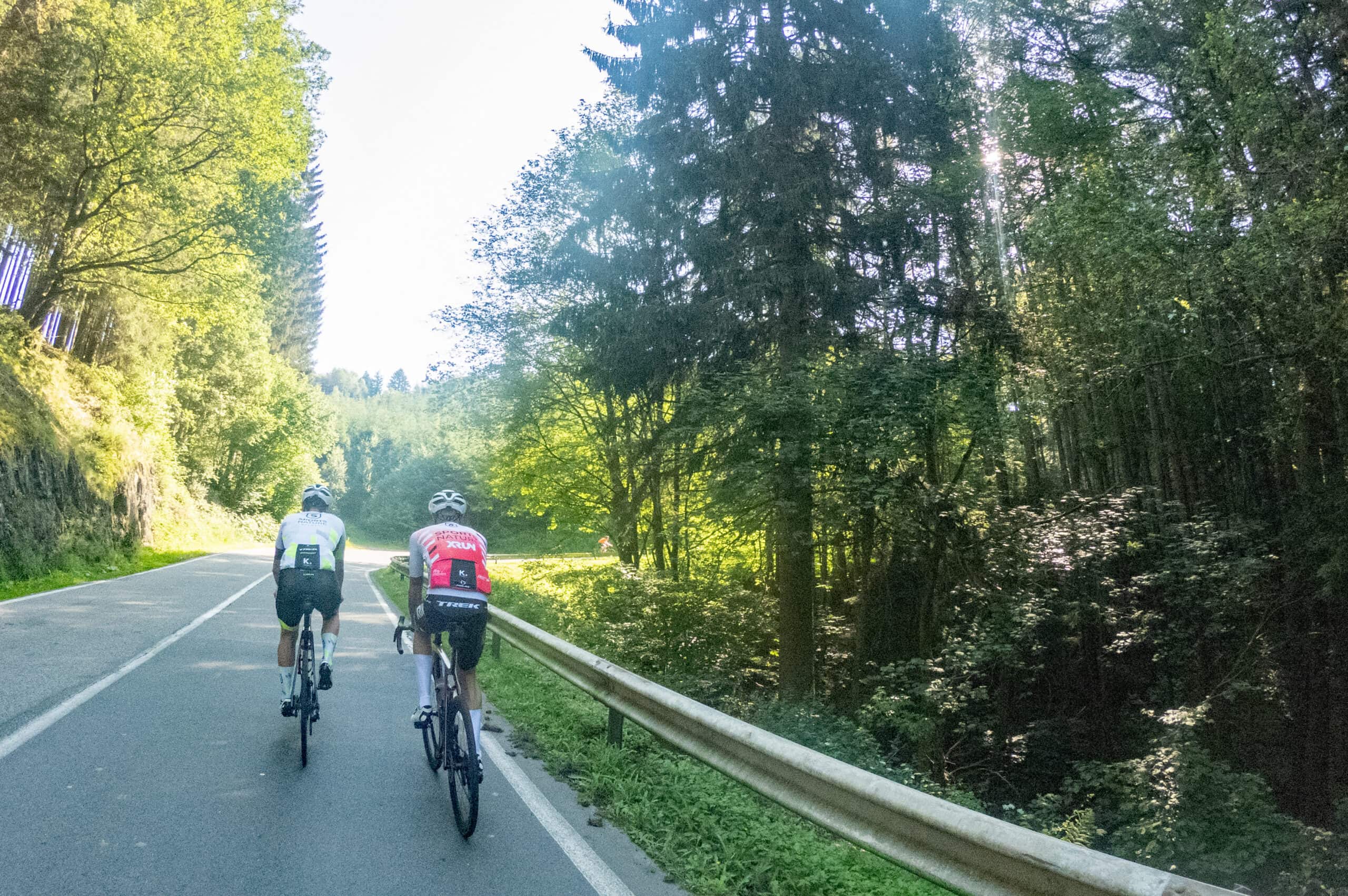
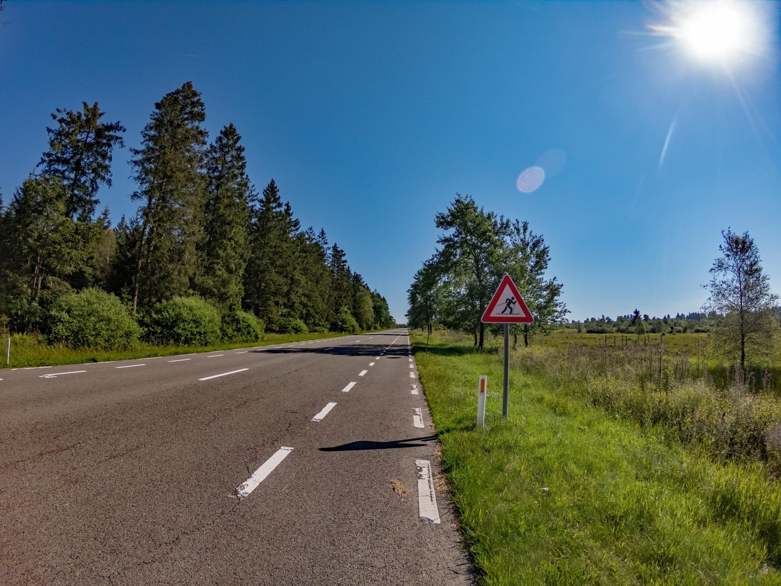
The highlight of this route is the Signal de Botrange. You start in the centre of Bütgenbach and your GPS device takes you via quiet, traffic-free roads via Schoppen to Waimes where a first climb is on the program: the Col de Boussire (1.5 km, 95 m difference in altitude), the summit is also called “Espérance“. You descend via Chôdes to Malmedy, crossing the pretty town. At the level of the Pont d’Outrelepont, which is near the cathedral, a Strava segment starts that only ends at the tower of Botrange after 14.5 km and 356 altimeters. The initially wide, false flat road narrows near the Bevercé chapel and turns into hairpin bends that seem to have been plucked straight out of some mountain stage of the Tour de France.
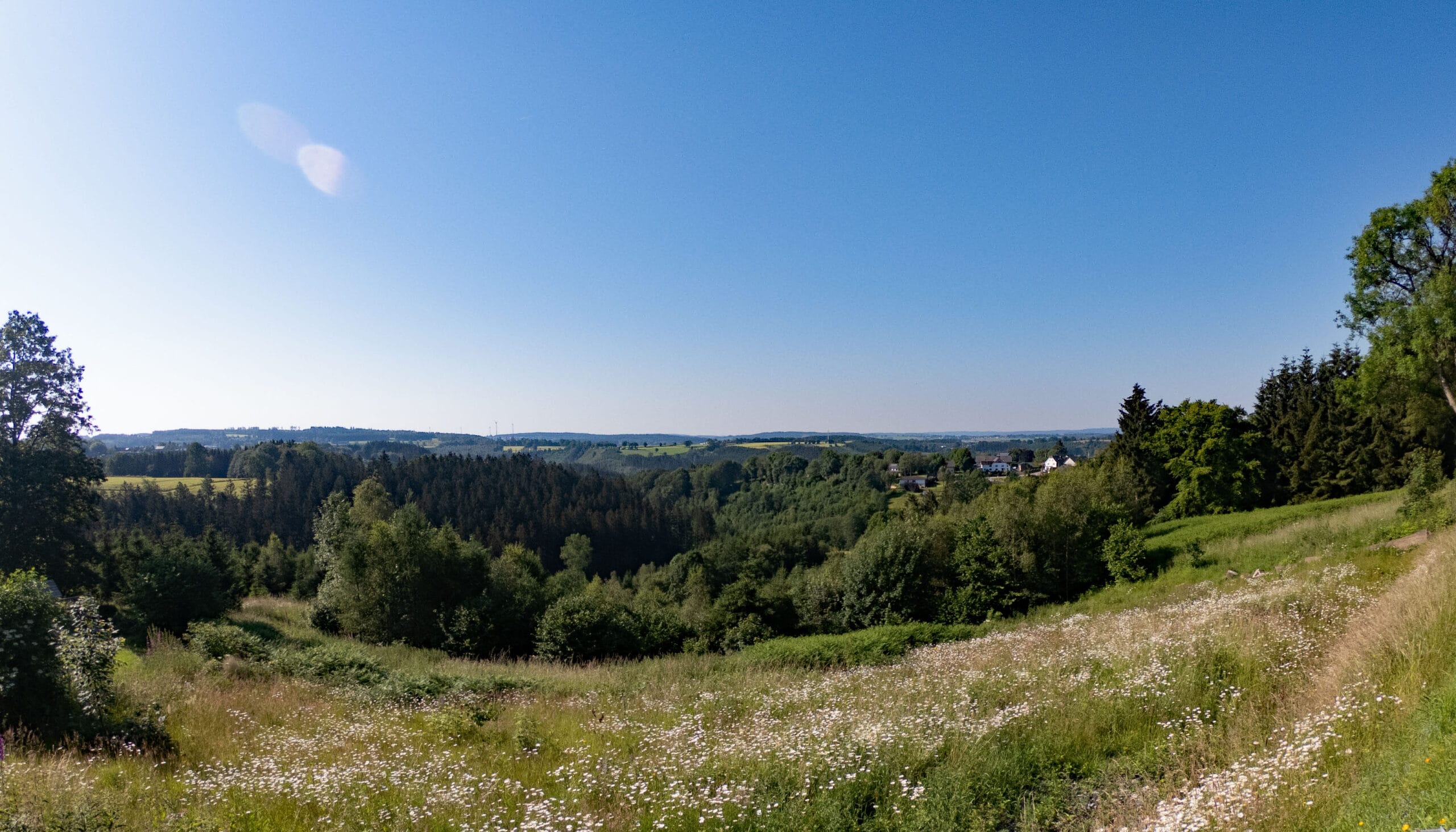
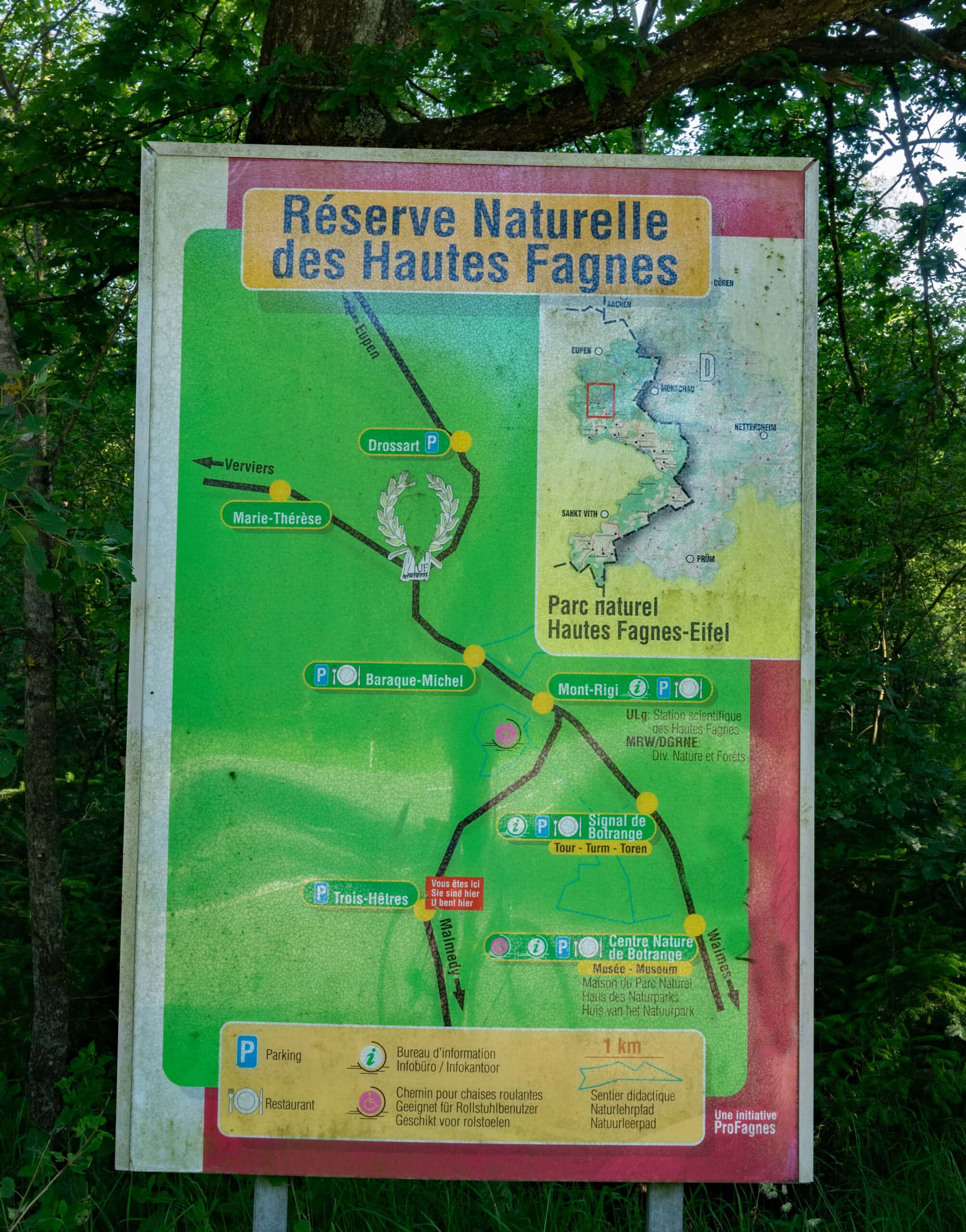
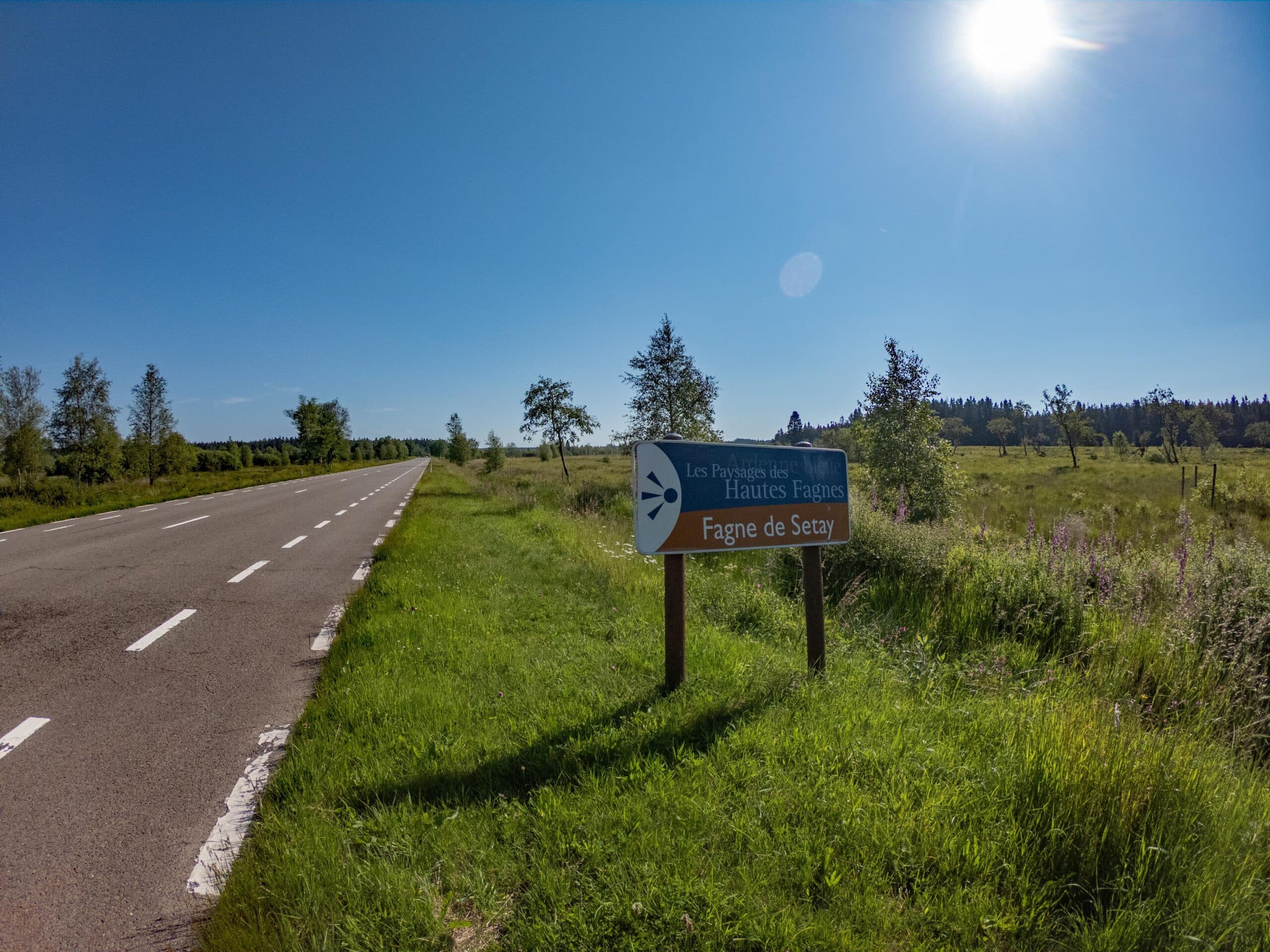
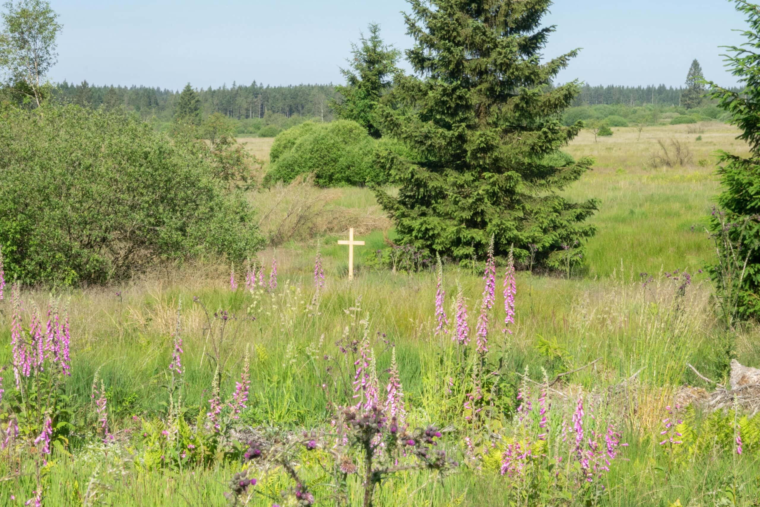
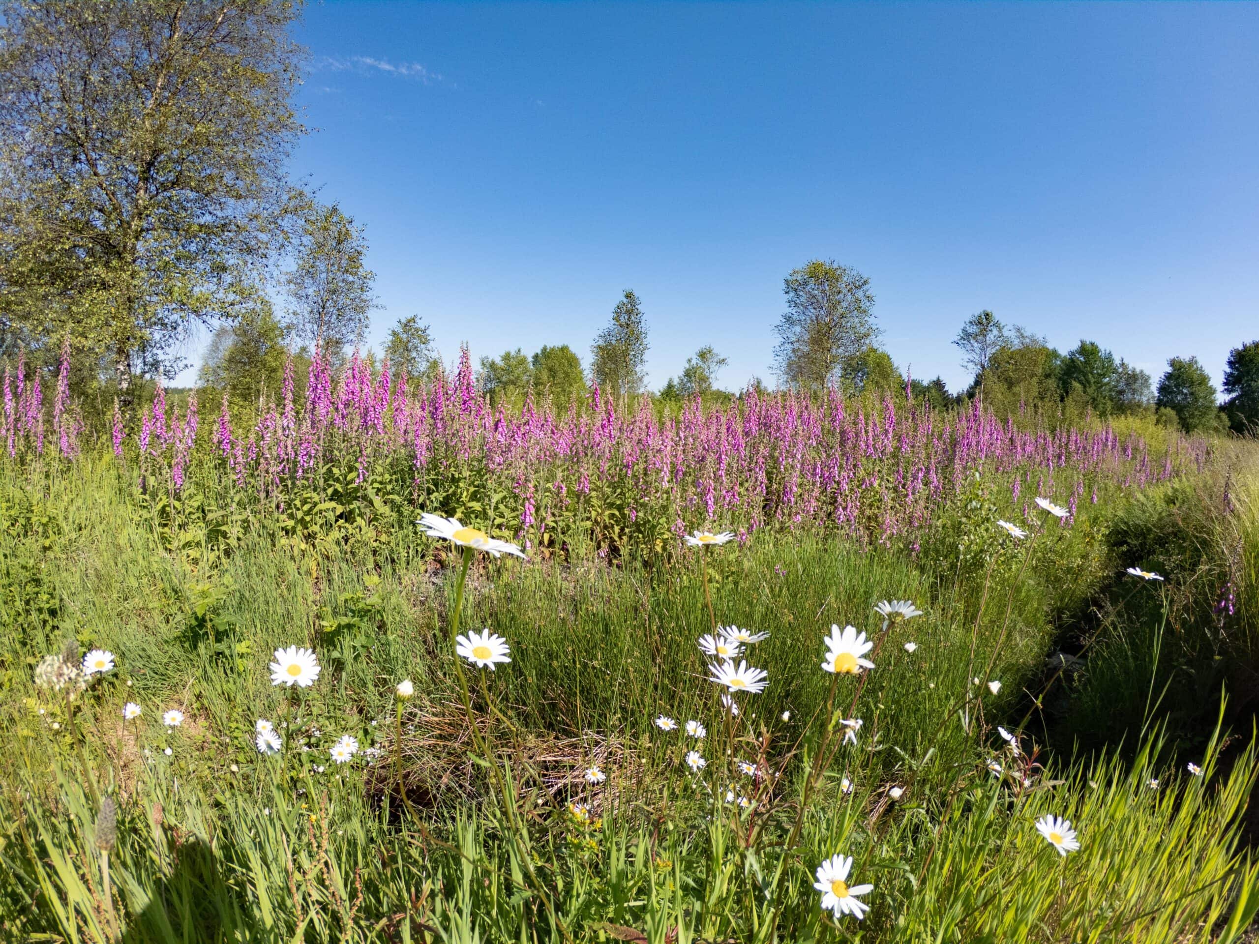
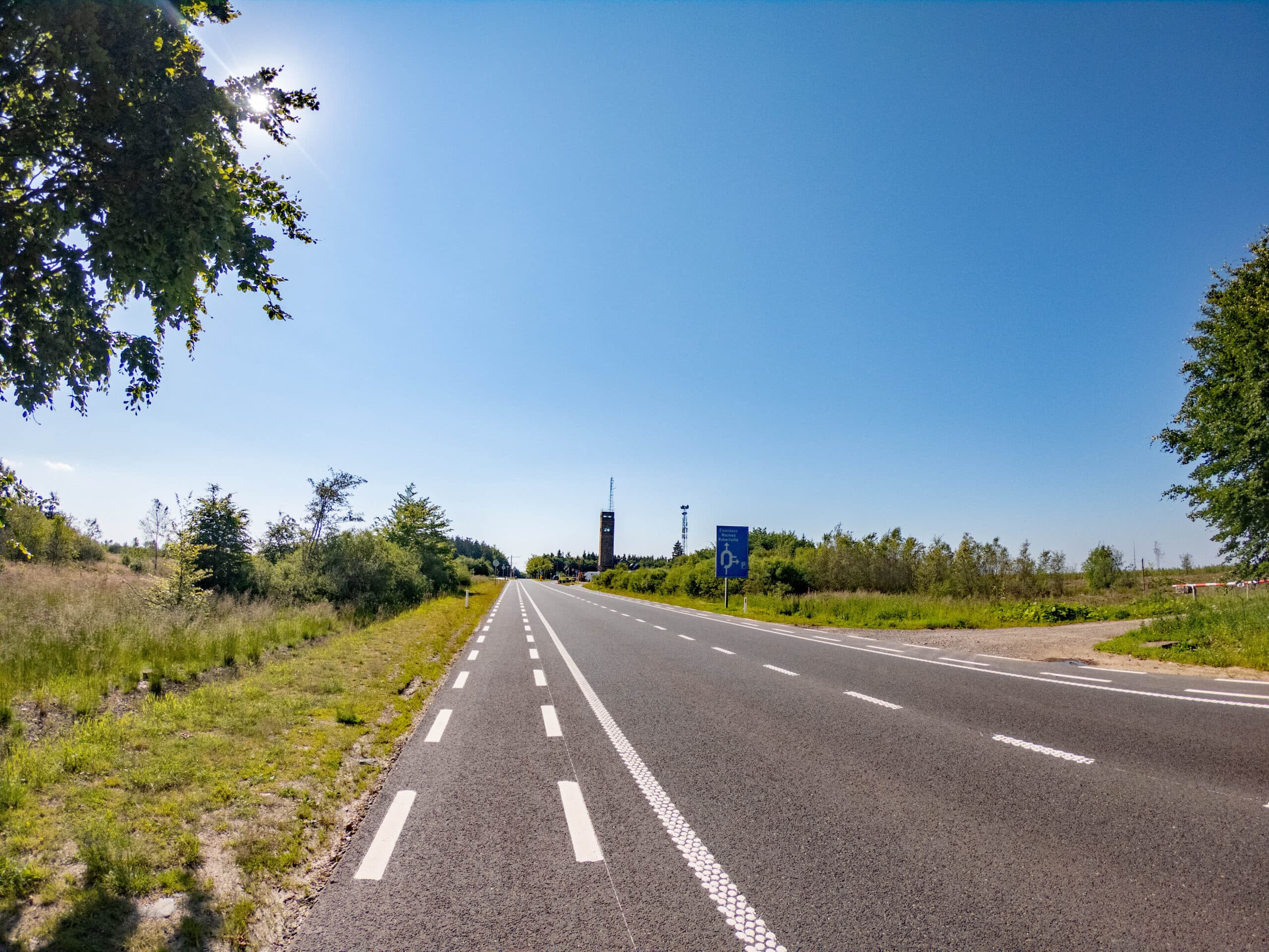
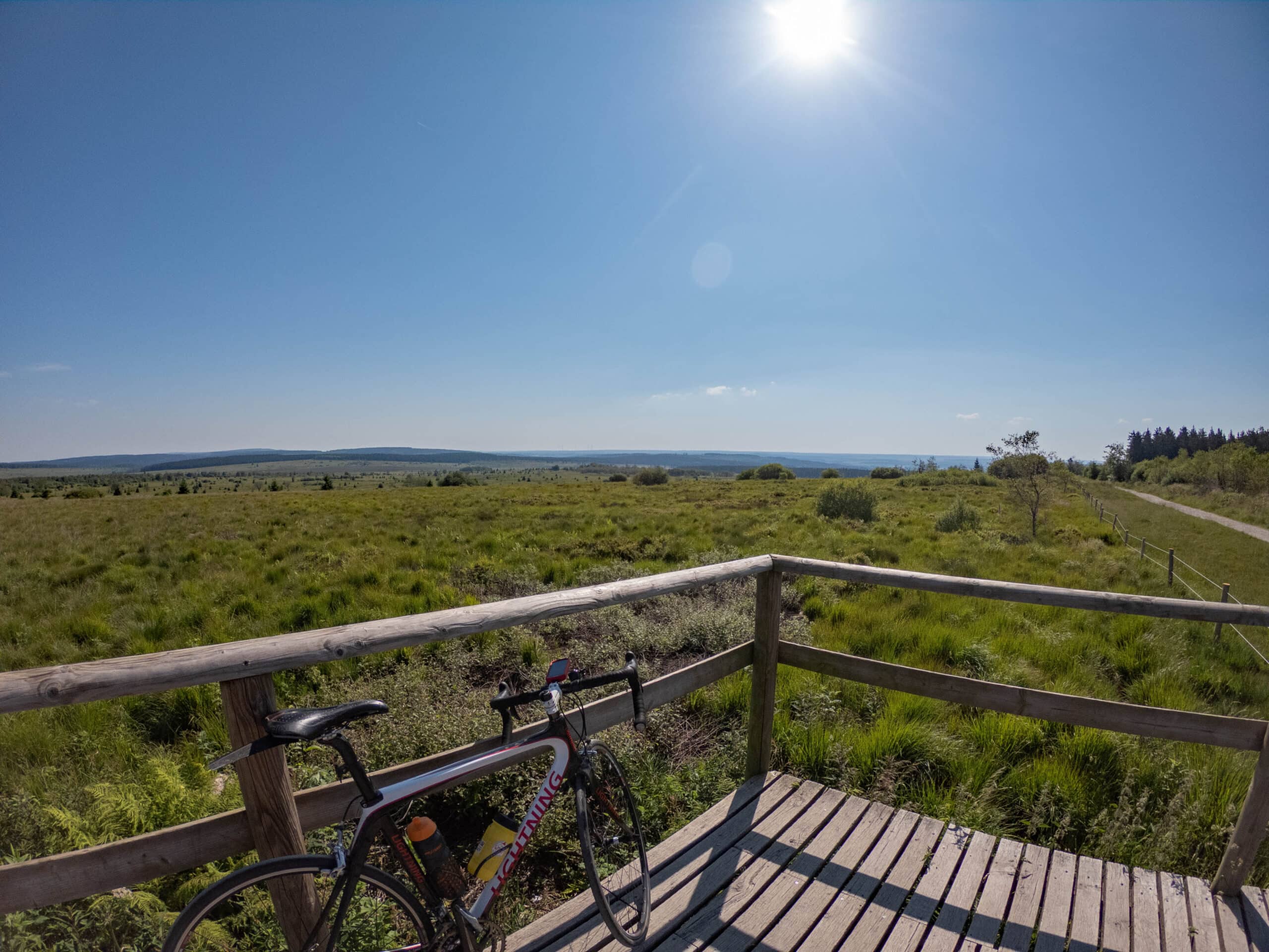
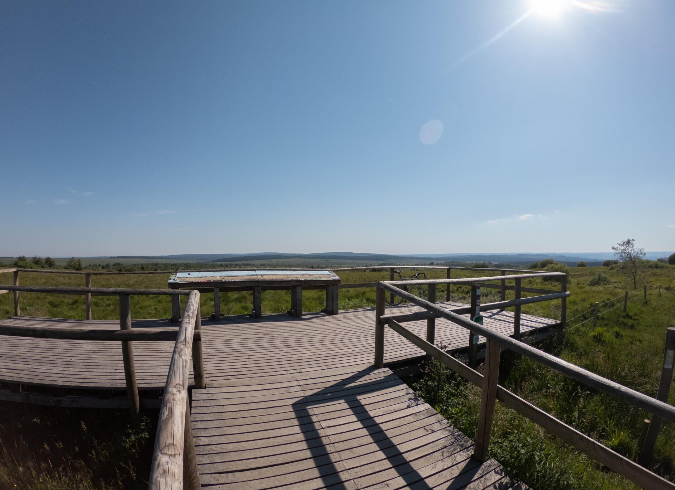
The Ardennes forests have to give way to the extraordinary landscape of the High Fens after 9 kilometers. There is almost always wind here and you can only hope you have it at your back. If you have the wind at your head, you will have to fight your way to the top. At Mont Rigi you turn right to cover the last 2 km to the Col de Botrange.
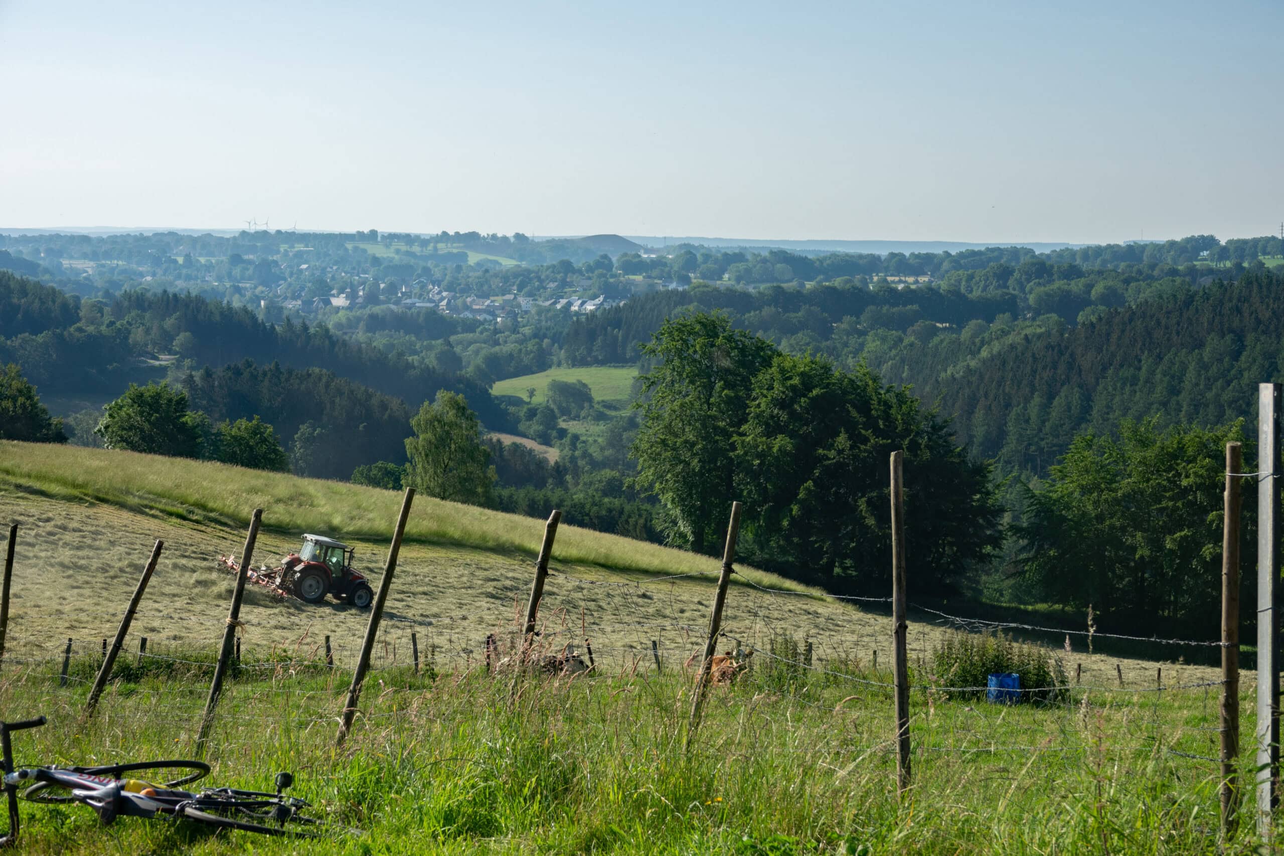
After Botrange, the climbing is not over. You will now be introduced to the typical Eifel landscape: the rolling coulisse landscape formed of meadows and hedges are never flat.
Weywertz, Nidrum, Elsenborn, Berg, Wirtzfeld are the villages you will consecutively visit before riding back to Bütgenbach via the RAVeL.
At the end, the counter shows 925 altimeters and 64 km: it is not flat.
Details
Code :
BOTR
Start :
Marktplatz Bütgenbach
End :
Marktplatz Bütgenbach
Km :
63.8km
Vertical meters :
925m