


To the Bieley Rock – long
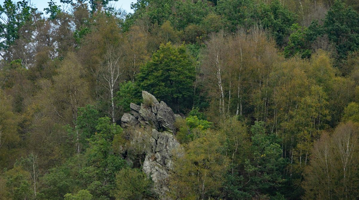
The Bieley Rock is situated in Elsenborn and is only via Germany (at the north of the Bieley Rock) accessible. The inaccessible military camp of Elsenborn is situated at the south.
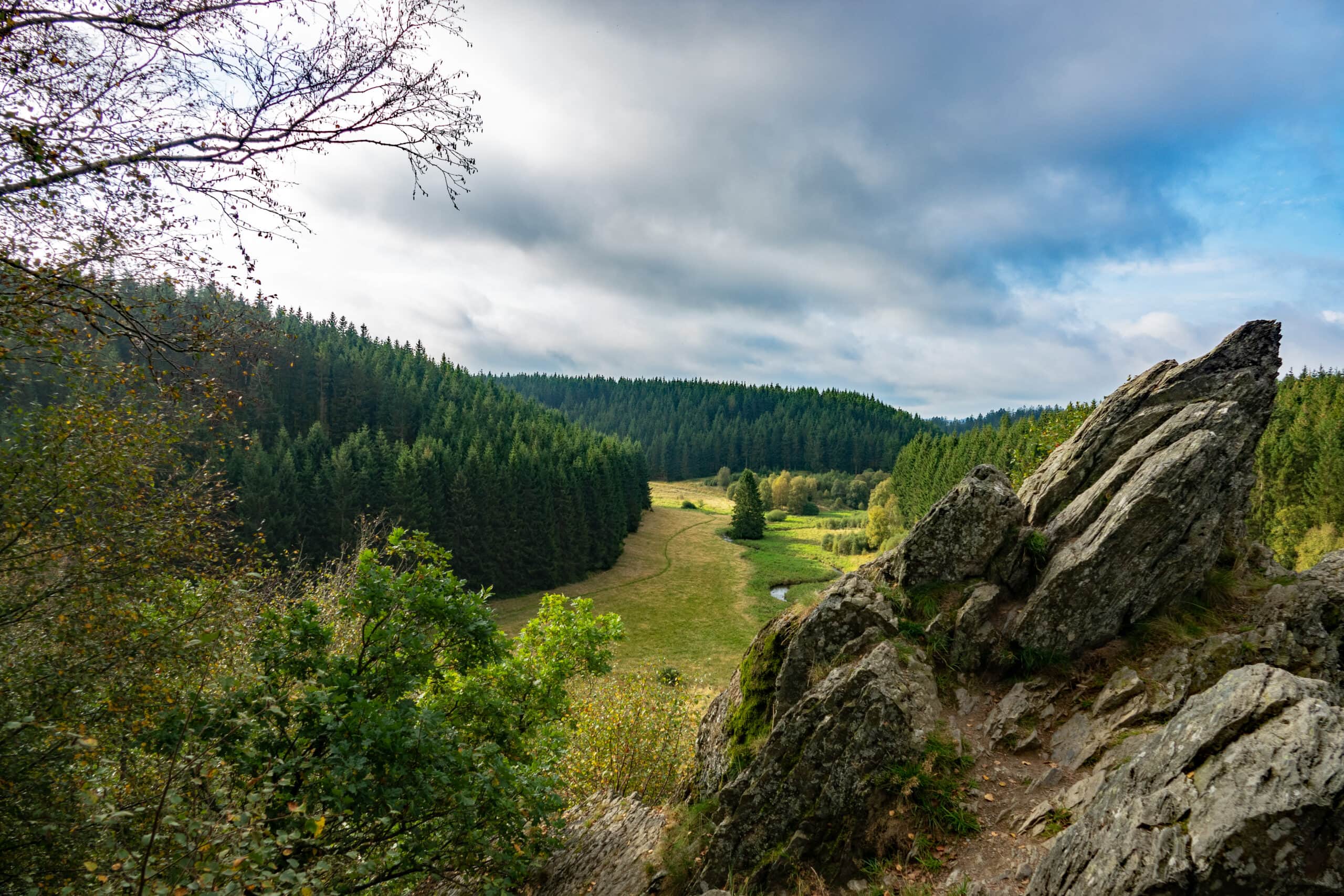
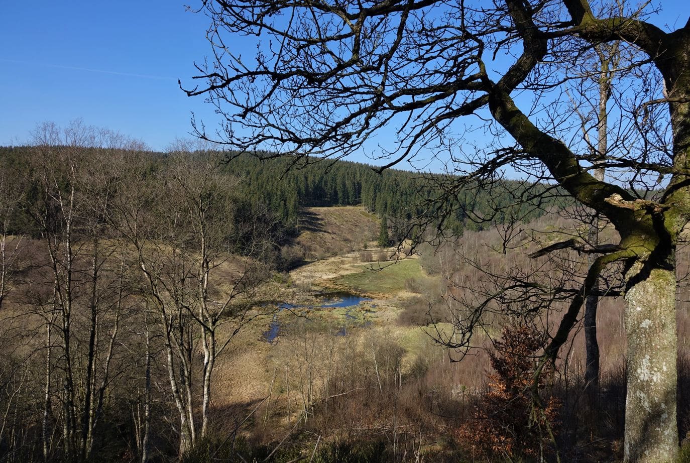
The route as described, leads you to a nature reserve with in its centre the Bieley Rock. This nature reserve is via the path surrounding the Rock at its south side, uniquely accessible by pedestrians. At the end it is very steep. Pedestrians who want to avoid this steep climb to the Bieley Rock can reach it via the other flatter path at the North.
This cross-border hike isn’t signposted: You do need to download the GPX-track on your GPS or print the map.
The big lap of 16,3 km starts in Belgium (Leykaul). A shorter lap starts at the public parking in front of Gut Heistert in Germany.
ATTENTION
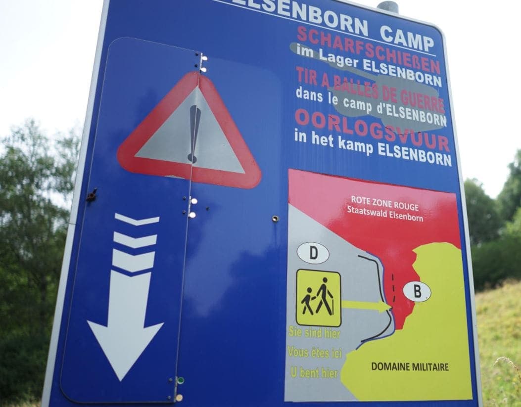
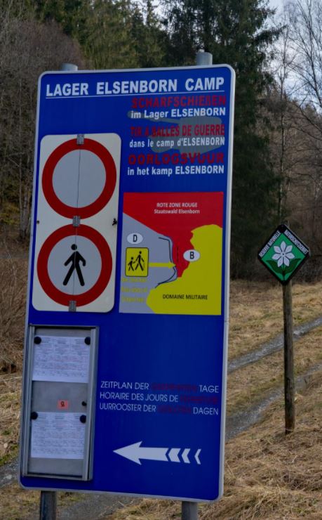
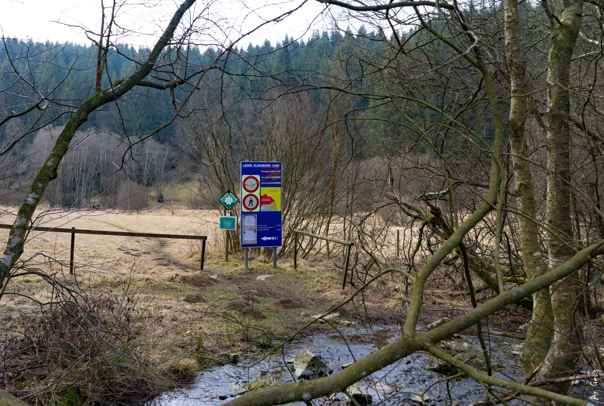
When you cross the border between Germany and Belgium to reach the Rock, it’s important to read and respect the notice and its instructions at the information board. The Bieley Rock is located in Red Zone of the military camp. Therefore, the way to the Bieley rock is sometimes closed for security reasons (military exercises in that part of the military camp). Check the accessibility of this Red Zone (Rote Zone) out here:
“Schiessübungen – Tabelle der Übungen”
Tipp
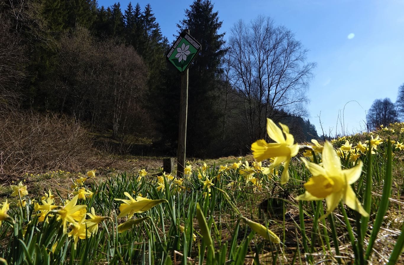
- You’ll see many daffodils in spring: the Perlenbach valley is known for this.
- Take the northern path to the rock if you want to avoid the steep climb in the south.
- If 16,3 km is too long, opt for the short walk starting in Kalterherberg.
Details
Code :
LEY03
Start :
Parking, Am Breitenbach, 4750 Leykaul
End :
Parking, Am Breitenbach, 4750 Leykaul
Km :
16.3km
Vertical meters :
240m
Off-road :
62%
The villages


